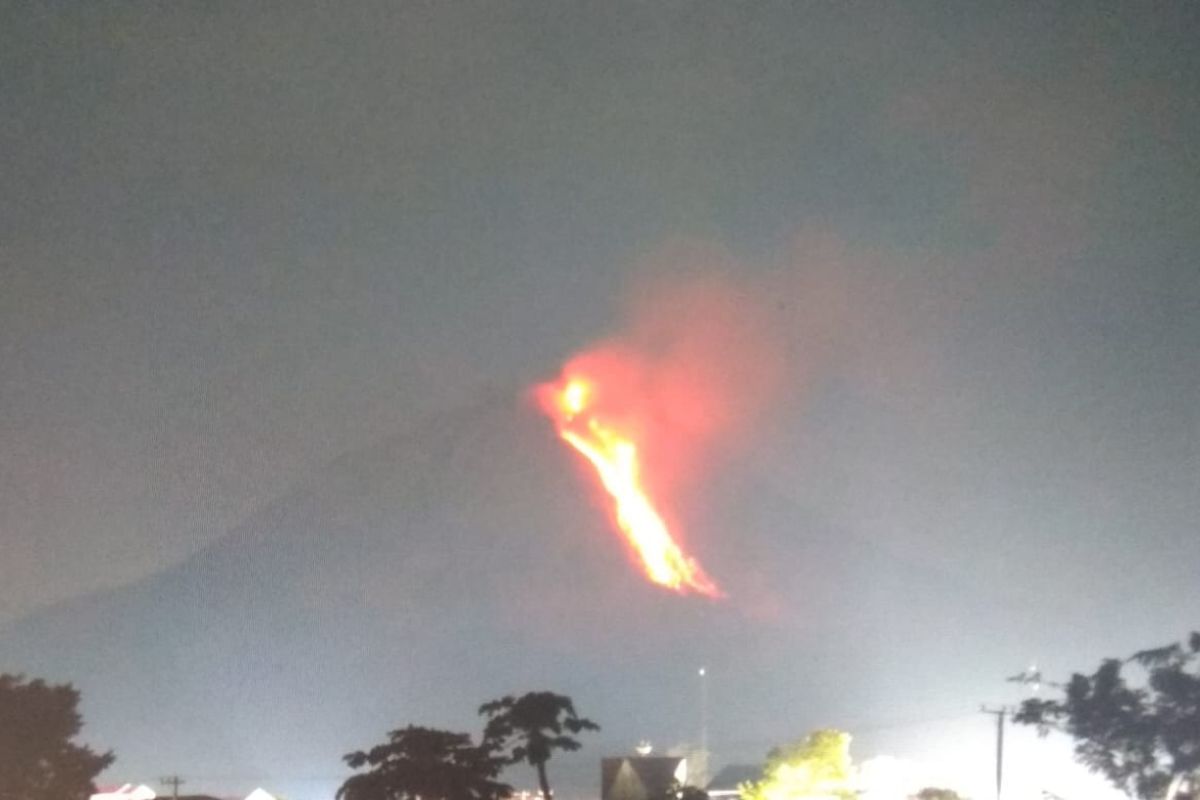
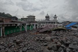
The eruption occurred on the night of Friday (Feb 12), and the lava glided reportedly to the east and southeast of Mount Sinabung, Armen Putra, head of the Mount Sinabung Observation Post, stated here on Saturday.
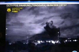
The volcano also spewed hot cloud to a height of some one kilometer toward the east, southeast, and south of Mount Sinabung. Hot clouds of the eruption were recorded to have an amplitude of 120 mm, while the earthquake’s duration was 159 seconds.
"The weather was cloudy, and weak to moderate wind was blowing to the east and southeast. The temperature was recorded at 17-23 degrees Celsius," he stated.
The emergency status of the 2,460-meter-high Mount Sinabung is declared at Level III (alert).
Related news: Mt Sinabung shoots out ash clouds one km into sky
Putra urged residents and farmers to steer clear from conducting activities in villages that have been relocated and at locations within a three-km radius from the mountain’s peak, five-km radius for the south-east sector, and four-km radius for the east-north sector.
"People residing by the rivers close to Mount Sinabung are also urged to remain alert to the dangers of lava," he stated. After being inactive for four centuries, Mount Sinabung has sprung back to life since 2010 and has erupted sporadically. Tens of thousands of people have been displaced by the natural disaster.
The government has conducted stage-wise relocation of the displaced people to new permanent settlement areas away from the volcano.
Mt Sinabung's eruption had claimed two lives in 2010 and 15 lives in 2015. The last known eruption, prior to recent times, occurred in the year 1600.
In addition to Mount Sinabung, three other volcanoes -- Mount Merapi located between Central Java and Yogyakarta and Mount Semeru and Mount Raung in East Java -- had erupted sporadically lately.
Related news: 1,500 face masks distributed following Mt Sinabung's eruption
Translator: Nur A Sitorus, Fardah
Editor: Rahmad Nasution
Copyright © ANTARA 2021
