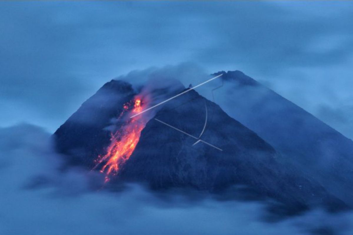
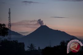
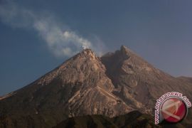
During the time when the volcano erupted, 38 earthquake avalanches were recorded, with an amplitude of 3-24 mm for a duration of 12.8-96.8 seconds and a multi-phase earthquake, with an amplitude of 3 mm for nine seconds, Head of the Geological Disaster Research and Technology Development Center (BPPTKG) Hanik Humaida noted in a written statement released on Tuesday.
No clouds were seen billowing from the crater’s peak during the observation period, he remarked.
Related news: Mt Merapi shoots up to 3,000 meters high ash clouds
Related news: Mount Merapi spews hot clouds rising two kilometers above crater
The BPPTKG reported cloudy weather around the volcano, with weak winds blowing in an easterly direction and temperature recorded at 13.5-25.3 degrees Celsius; humidity, at 75-79 percent; and barometric pressure at 626.9-704.8 mmHg.
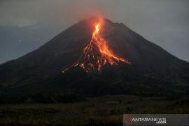
Based on observations over the past week, on February 5-11, 2021, the BPPTKG concluded that the volcanic activities of Mount Merapi remained quite high or in the form of effusive eruption.
The agency still maintains the volcano’s alert status at Level III.
The volcano's lava flow and hot cloud were projected to affect areas located south and southwest of the volcano, including Kuning, Boyong, Bedog, Krasak, Bebeng, and Putih. (INE)
Related news: Mt Merapi spews hot lava for 10 times
Related news: Five volcanoes erupting sporadically in Indonesia since Jan 2021
Translator: Luqman Hakim/Suharto
Editor: Yuni Arisandy Sinaga
Copyright © ANTARA 2021
