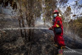
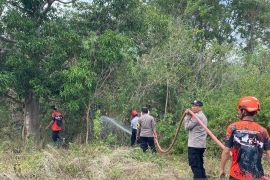
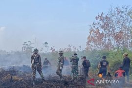
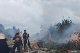
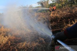
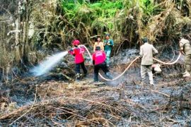
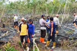
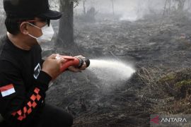
"We have received reports of conflagrations engulfing tens of hectares of peatlands. If we delay the land wetting process, more peatlands will burn, and smog disasters may ensue," South Sumatra BPBD Emergency Mitigation Department Head Ansori stated in Palembang on Monday.
The BPBD had earlier dispatched its personnel to engage, on land and in the air, to map farms, forests and peatlands at high risk of wildfires, with support from the regional wildfire mitigation joint task force, Ansori said.
Dry areas and areas tagged as hot spots are dampened by using the closest water sources, such as rivers or lakes, and extinguishing efforts are done to areas currently engulfed in flames, he added.
Related news: Global warming to see peatlands absorb more carbon in near future: study
By taking those mitigation steps, Ansori expected wildfires that occurred within recent months could be controlled without causing a conflagration affecting hundreds of hectares of land and resulting in smog disasters.
Based on recent data, some 90 hectares of peatlands in the region are currently on fire, with regions affected by wildfires including Ogan Ilir, Banyuasin, Musi Banyuasin, Pali, and Ogan Komering Ulu Districts.
To prevent wildfires from spreading, the agency also expected residents to assist in guarding peatland, farms, and forests located close to their homes.
"By those efforts, we hope South Sumatra's forests, peatlands, and farms are saved from wildfires and smog disasters could be averted during the peak of the dry season on this year," Ansori added.
Related news: Agency eyes restoration of 140 thousand hectares of Riau`s peatlands
Translator: Yudi Abdullah, Nabil Ihsan
Editor: Rahmad Nasution
Copyright © ANTARA 2021
