Bathymetry refers to the measurement and the mapping of seabed topography.
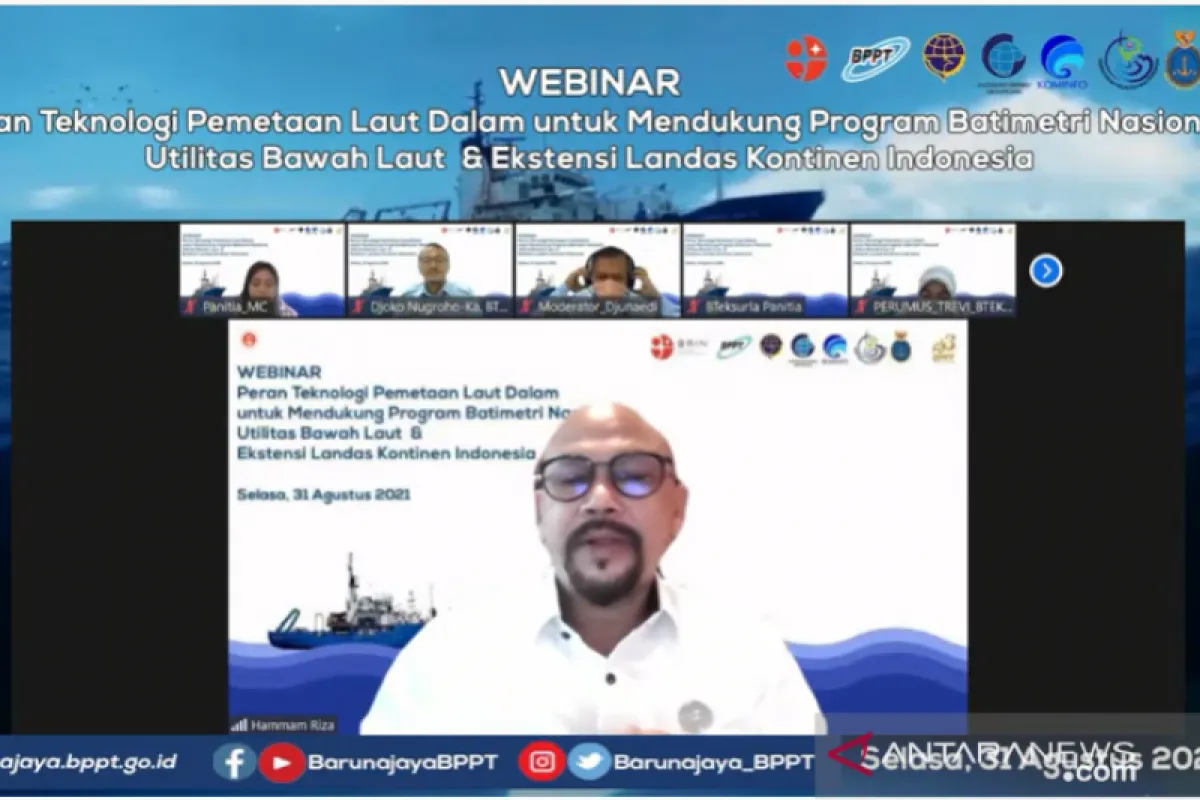
"In the development of new ports or managing the existing ports, availability and maintenance of bathymetry data is very important," BPPT head Hammam Riza said during a webinar here on Tuesday.
Certain ports are designed as per certain bathymetry conditions, based on the type of ships that they serve, he added.
Since the entry and the exit of ships in a port is highly dependent on bathymetry, the ocean depth around the ports must be preserved, Riza said.
Bathymetry is also required to determine ship travel routes and locations for installation of sea signs on navigation maps, he added.
"This navigation map will certainly help ships conduct travel and reduce the risk of accidents," Riza explained.
To ensure the completeness of bathymetry data, BPPT owns and maintains four research ships -- Research Ship (KR) Baruna Jaya I, II, III, and IV, he said.
"These four research ships have the ability to conduct complete bathymetry mapping starting from the surface of the ocean to the deep sea," he elaborated.
By utilizing these four research ships, BPPT's Marine Survey Technology Center can conduct bathymetry surveys, Riza said.
Bathymetry involves data collection as well as water condition mapping to produce depth data or seabed topography.
Information regarding bathymetry has become crucial to support activities that utilize the space in shore areas, which are a part of national development, Riza said.
Related news: BPPT fortifies deep-sea research infrastructure
Related news: Marine mineral to support development of green technologies: BPPT
Translator: Martha S, Fadhli R
Editor: Suharto
Copyright © ANTARA 2021


