The equipment will strengthen deep-sea research infrastructure, such as the miscellaneousMultibeam Echosounder (MBES) for mapping the seabed at a depth of 3,500 meters, 8 thousand meters, and up to 11 thousand meters.Jakarta (ANTARA) - The Agency for the Assessment and Application of Technology (BPPT) said it is strengthening deep-sea research infrastructure for exploring the deep sea and mapping potential mineral reserves in Indonesian waters.
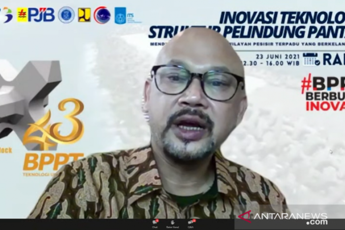
"As part of efforts to strengthen deep-sea research infrastructure, in recent years, BPPT has taken various steps to improve the capabilities of research infrastructure by revitalizing the Baruna Jaya research vessel and other supporting equipment," head of BPPT, Hammam Riza, said at a webinar on 'Deep Sea Mineral Exploration in Indonesia: Potential, Policy, Challenges and Technology' originating from Jakarta on Thursday.
In 2020, BPPT conducted a limited revitalization of the Baruna Jaya I and Baruna Jaya III research vessels, he added.
The two vessels are currently dedicated to surveying operations for the strengthening and development of the Tsunami Early Warning System in Indonesia, he informed.
The research vessels are being deployed for deep-sea mapping of Indonesia's Extended Continental Shelf Submission and for marine surveys to support the determination of the Palapa Ring, the undersea telecommunication cable line, he said.
Related news: BPPT must prudently keep abreast of technological advancements: Jokowi
A variety of new equipment has also been procured from 2017-2020 to support these tasks, he added.
"The equipment will strengthen deep-sea research infrastructure, such as the miscellaneous Multibeam Echosounder (MBES) for mapping the seabed at a depth of 3,500 meters, 8 thousand meters, and up to 11 thousand meters," he informed.
Riza said the MBES, which can reach depths of 11 thousand meters, is the only one Indonesia owns today.
Equipment for hydro-oceanography have also been procured, such as CTD (Conductivity Temperature Depth) that can reach up to a depth of six thousand meters, and Remotely Operated Vehicles (ROV) that can be used to observe and photograph underwater objects up to a depth of a thousand meters, he added.
To support marine survey operations in the middle of the ocean, BPPT's Marine Survey Technology Center has also been equipped with a control room or command center as a Survey Operations Control Center for research vessel Baruna Jaya, with VSAT satellite-based communication capability, he said.
"With the research infrastructure of BPPT's research vessel Baruna Jaya, it expects to support the efforts for deep-sea research activities including deep-sea mineral exploration in Indonesia," Riza remarked.
Related news: BPPT fosters innovation in alternative energy development
Related news: Marine mineral to support development of green technologies: BPPT
Translator: Martha Herlinawati Simanjuntak
Editor: Suharto
Copyright © ANTARA 2021
