The survey was carried out after the 6.1-magnitude earthquake hit West Pasaman, West Sumatra on Friday (February 25, 2021), BMKG head Dwikorita Karnawati said here on Monday.
The survey mapped out and measured different types of soil and rocks around the quake’s epicenter, she informed.
BMKG is also continuing to monitor and determine the possibility of aftershocks and estimate when they will end, she said.
Based on the survey’s results, the local government has been advised to pay strict attention to the building code for earthquake-resistant building standards, especially in zones that are prone to earthquake shocks, she added.
Related news: West Pasaman experienced 15 aftershocks following 6.1-magnitude quake
Moreover, the measurements made during the survey will be mapped out factually to identify the zones that would be susceptible to strong shocks in the future, she informed.
"It will be verified. Which zones have the high, medium, or low level of vulnerability, as information for local governments in rebuilding the region," Karnawati said.
She also advised the earthquake victims to return to their homes if they were still in a habitable condition. This includes homes outside the 200-meter radius of the riverbank, considering that aftershocks have started to weaken, she added.
"Do not believe hoaxes or fake news that are deliberately spread to scare the public. Make sure the information is valid from BMKG. Please check the BMKG's communication channels, not only updates about the earthquake but also weather conditions and early warnings," Karnawati emphasized.
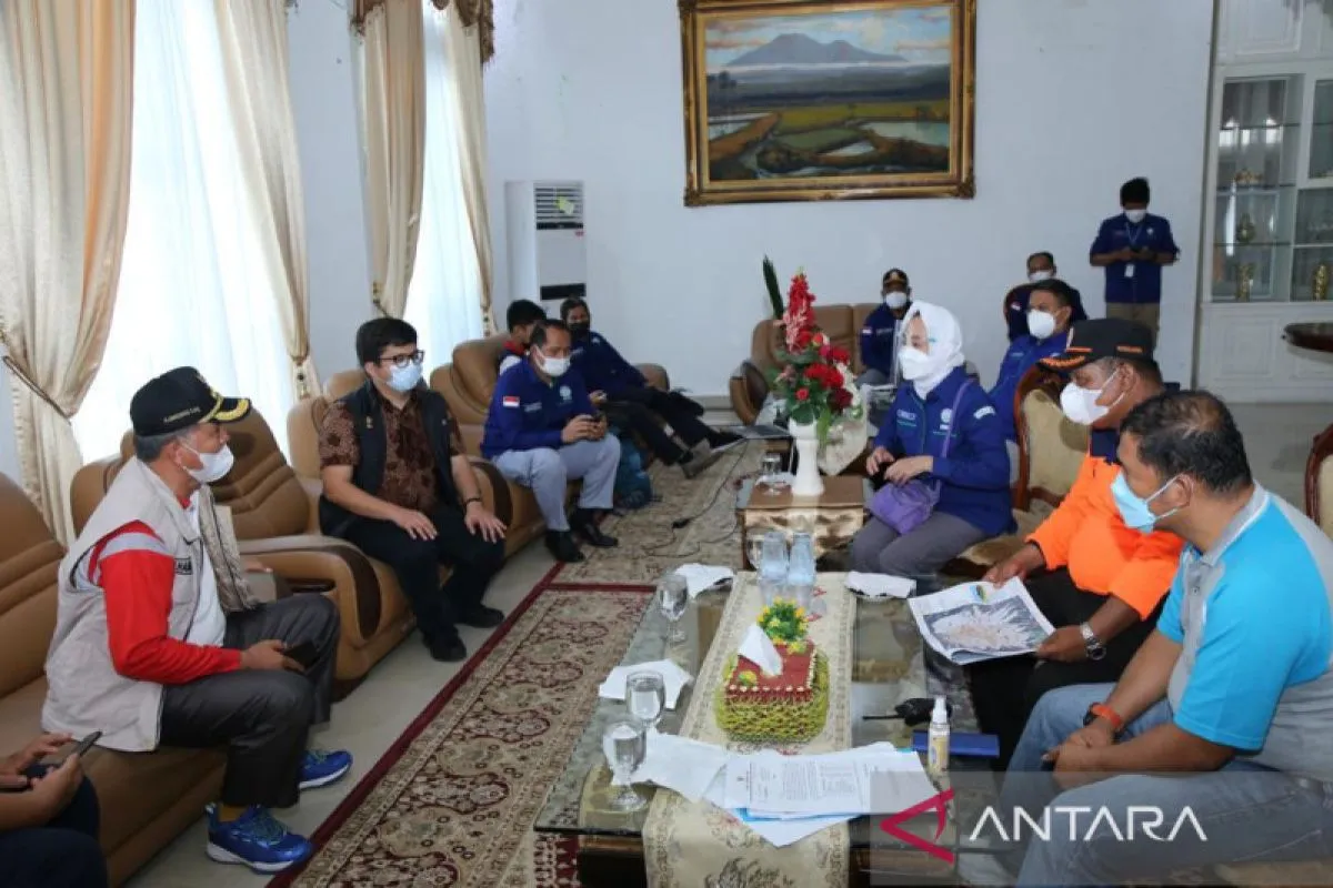
The field survey was conducted by Karnawati, Technical Seismological Center head Rahmat Triyono, BMKG Territory 1 Center head Darmawan, and BMKG’s provincial coordinator and five head stations from the West Sumatra region, she said.
BMKG also coordinated with the National Disaster Mitigation Agency (BNPB), the West Pasaman administration, and the local River Basin Agency (BWS) team for the survey, she added.
Related news: BMKG denies 7.5 magnitude earthquake will strike West Pasaman
Related news: West Pasaman earthquake's death toll climbs to six
Translator: Devi R, Kenzu T
Editor: Suharto
Copyright © ANTARA 2022


