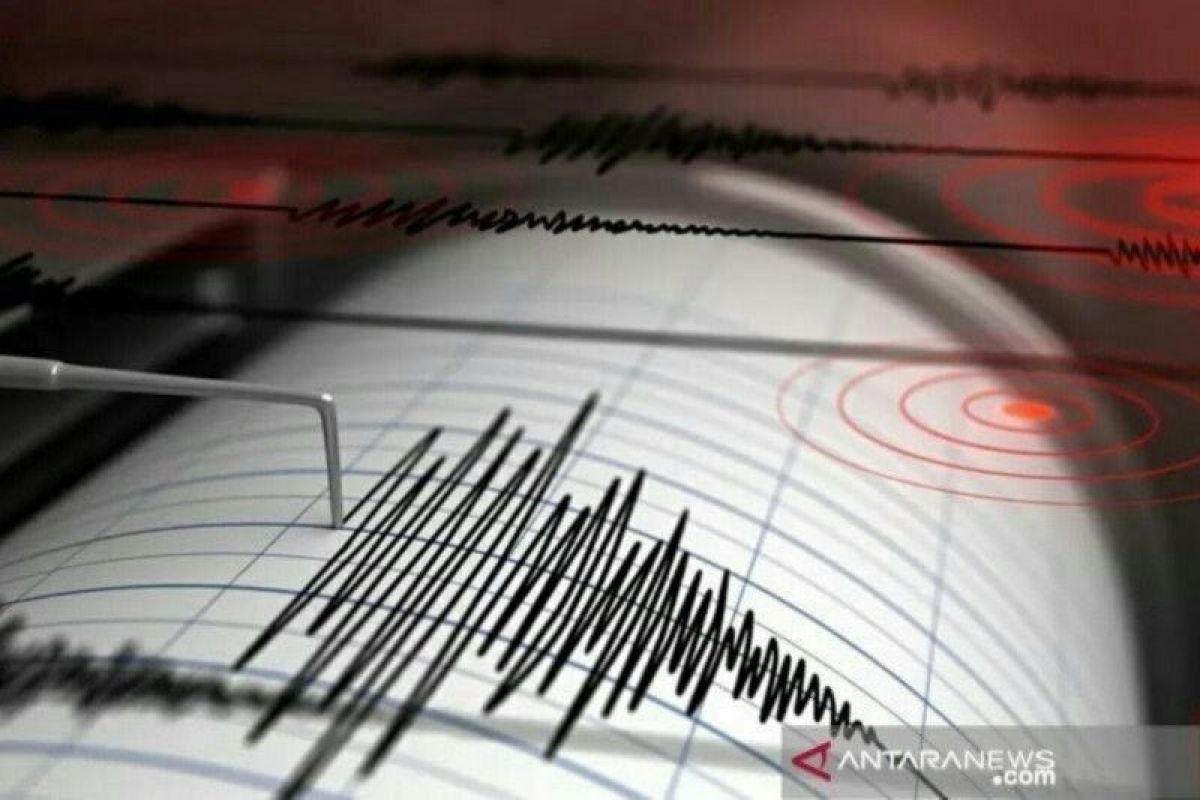
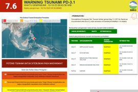
The epicenter of the earthquake was located in the sea, about 89 kilometers southwest of Tanggamus, at a depth of 10 km, the agency said.
However, the earthquake did not have the potential to trigger a tsunami, it added.
Related news: 4.8-magnitude earthquake jolts Rangkasbitung, Banten
The tremor was felt at Modified Mercalli Intensity (MMI) scale II in Tanggamus, at MMI III in Pesisir Barat, and MMI II-III in Liwa.
An earthquake of MMI II can be felt by some people and results in hung, light articles shaking, while an earthquake of MMI III can be felt indoors and is akin to the vibrations produced by a passing truck.
The Mercalli scale is one of the scales used to assess the intensity of an earthquake, especially in the absence of a seismometer at the site.
BMKG has advised locals to stay alert for possible aftershocks.
No injuries or fatalities were reported in Wednesday’s quake.
Related news: Plate deems global collaboration crucial amid digitalization wave Related news: Gov't unveils gender-responsive migrant workers' protection guideline
Translator: Devi Nindy SR, Suharto
Editor: Fardah Assegaf
Copyright © ANTARA 2022
