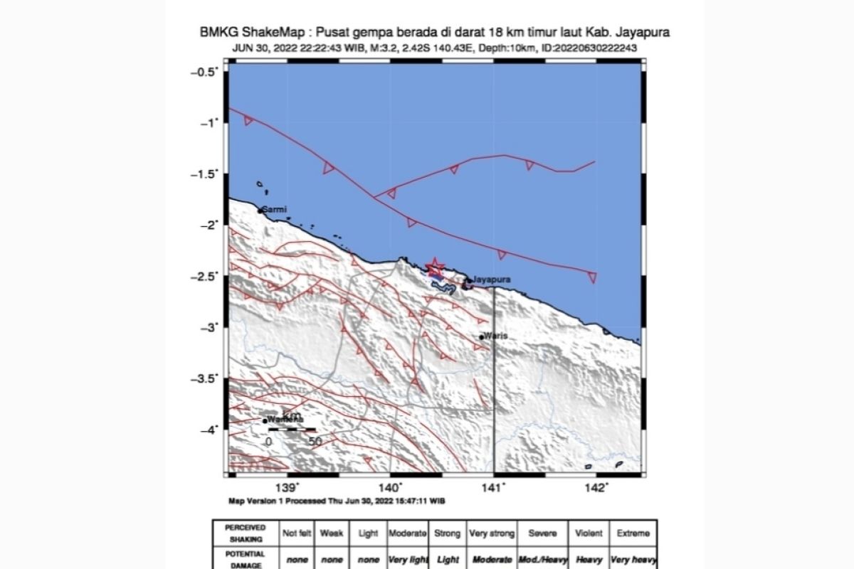
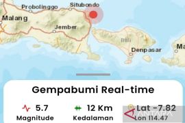
The epicenter of the earthquake, which struck at 6:44 WIB (West Indonesia Standard Time), was located on land, about 22 kilometers northwest of Mamberamo, at a depth of 10 kilometers, the agency stated on its social media website.
The agency recorded two powerful aftershocks following the earthquake.
Related news: 5.9-magnitude quake hits Maluku Tenggara Barat
The first aftershock of 5.5-magnitude that struck at 6:51 WIB was centered 32 kilometers northwest of Mamberamo, at a depth of 16 kilometers.
The second aftershock of 6.2-magnitude occurred at 7:05 WIB.
The epicenter of the second aftershock was located at sea, some 37 kilometers northwest of Central Mamberamo, at a depth of 16 kilometers. However, no tsunami warning was issued.
Related news: Ministry celebrates National Children's Day with Majene quake victims
No immediate report was received of casualties or injuries.
Indonesia lies on the Ring of Fire along the north-eastern islands adjacent of New Guinea and the Alpide belt along the south and west from Sumatra, Java, Bali, Flores, and Timor.
The motion of the fault generates numerous small earthquakes on a daily basis.
Related news: Quake of magnitude 5.2 strikes North Nias
Related news: BNPB outlines simple early warning tool for Mentawai after quake
Translator: Indriani, Suharto
Editor: Fardah Assegaf
Copyright © ANTARA 2022
