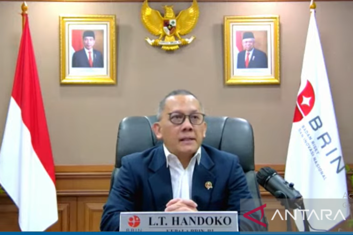
"This image data became a basis for the creation of maps, spatial plans, disaster mitigation, such as for forest fires and floods, and protection of the Indonesian territorial sovereignty," Head of BRIN Laksana Tri Handoko remarked.
BRIN develops and utilizes remote sensing satellite to monitor the planet, including hotspots in anticipating forest and land fires, he noted during the Nurtanio Pringgoadisuryo Memorial Lecture 2022 streamed virtually, Wednesday.
The satellite is also used to detect a disaster-prone environment and predict or detect dry land.
Related news: BRIN develops remote sensing system to monitor rice growth
In agriculture and fishery, satellite image data became crucial to sustainably manage agriculture land and monitor the fish capture zone more accurately, he explained.
Remote sensing satellite provides information on the land dryness level. The satellite can show a dry land that is far from the water source and having low rainfall as a basis for early warning of fire-prone areas.
Moreover, satellite image data can be utilized as a material for analysis and simulation over changes in the future.
Through satellite image data, dangerous and safe zones in the case of a disaster can also be identified, he remarked.
This information can be used to create an evacuation zone on high ground in the case of a tsunami.
In addition to remote sensing, the BRIN has an aerospace research strengthening program and is specifically developing a drone for civil purposes as well as an N-219 commuter plane and its amphibian variant.
"Beyond aviation, BRIN is also focusing on developing space technology. This technology is necessary to support the sovereignty of all aspects of our archipelagic country, with its relatively vast territory," Handoko remarked.
The BRIN bestows the Nurtanio Pringgoadisuryo Memorial Lecture award as a mark of appreciation for researchers, who made extraordinary achievements in the development of aviation and space science and technology.
Related news: Satellite imaging database centralization saves state Rp15 tln: BRIN
Related news: High resolution satellite image used to find worst-hit points
Translator: Martha H S, Fadhli Ruhman
Editor: Suharto
Copyright © ANTARA 2022
