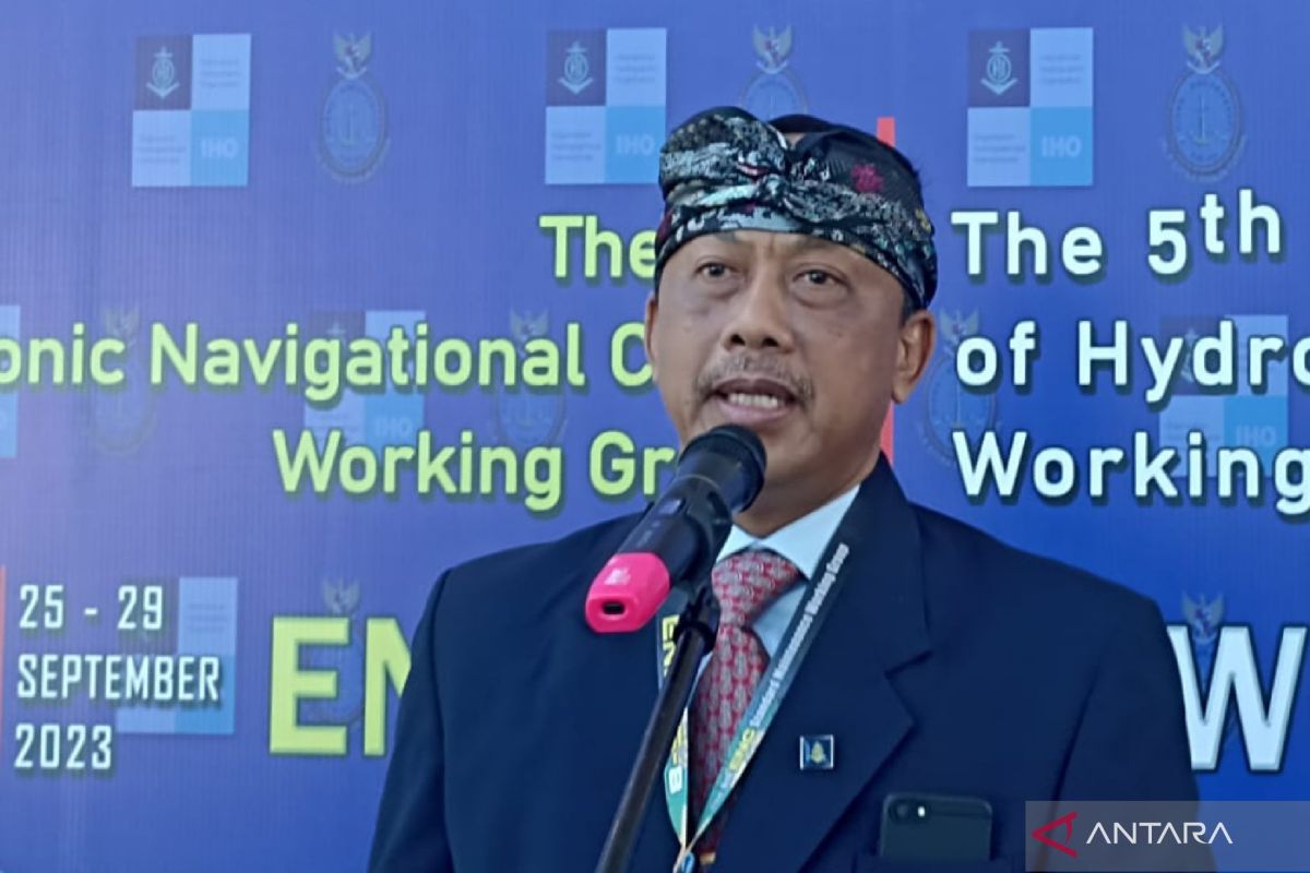
In West Lombok, West Nusa Tenggara, on Monday, the center's commander, Vice Admiral Nurhidayat, explained that the formulation of the marine navigational chart standard aims to provide better protection to shipping activities.
"The implementation (of the standard) will begin in 2024. This navigation system will be accessible through smartphones," he remarked during the 8th meeting of the ENCWG.
According to the commander, Indonesia is still referring to an old standard in managing its electronic navigation chart.
Nurhidayat expressed belief that the formulation and implementation of a new standard for Indonesia's ENC would provide convenience to countries in monitoring the situation and condition of seas in Indonesia, especially in the southern waters covering Bali, West Nusa Tenggara, and East Nusa Tenggara provinces.
"Hence, this meeting takes place to formulate a navigational standard that will be inseparable from other countries," he emphasized.
Related news: Transport Ministry launches navigation ship
Furthermore, Nurhayat remarked that delegates from ENCWG member countries had been assisting Indonesia in formulating the new standard by providing suggestions and considerations.
"By using the new navigational system, we will also be able to monitor underwater movements. This can also provide complementary data to BMKG (Meteorology, Climatology, and Geophysics Agency) and the National Research and Innovation Agency," he noted.
The 8th meeting of the ENCWG is being held in Senggigi, West Lombok District, and draws participation from delegates of 62 member countries of the working group, such as France, Australia, the United States, New Zealand, Sweden, Finland, Canada, Denmark, India, the Netherlands, South Korea, and the United Kingdom.
Related news: Navigation freedom in South China Sea should remain upheld: Japan
Translator: Dhimas B, Tegar Nurfitra
Editor: Yuni Arisandy Sinaga
Copyright © ANTARA 2023
