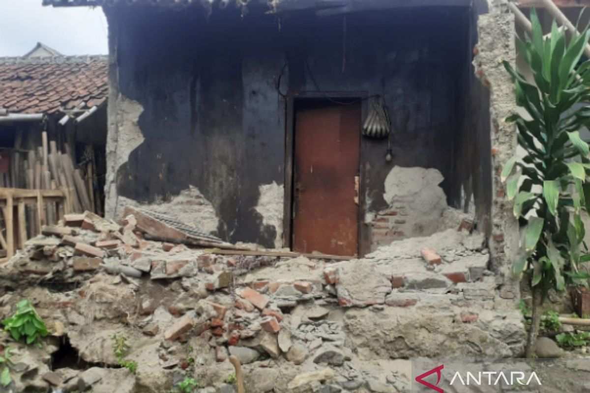
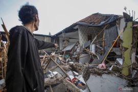
The damaged houses were found in the villages of Parungseah, Lembursawah, Babakanpanjang, Cihamerang, Mekarjaya, Hegarmanah, Loji, and Cicareuh, the agency's spokesperson, Sandra Fitria, remarked.
Speaking to local journalists here, Wednesday, Fitria noted that one house each in Bantarkalong Hamlet of Hegarmanah Village and Tegalnyampai Hamlet of Loji Village had collapsed.
The BPBD personnel continue to assess the affected buildings, and the number of damaged houses and public facilities could increase, Fitria stated while urging locals to remain cautious of possible aftershocks.
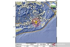
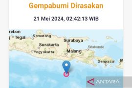
Indonesia's Meteorology, Climatology, and Geophysics Agency (BMKG) reported that a 5.9-magnitude earthquake had rocked Bayah District in Banten on Wednesday at 7:53 a.m. local time.
Related news: 5.9M quake in W Java caused by rock deformation: expert
The agency noted that the quake's epicenter was located about 72 kilometers away from southwest of Dayah District, at a depth of 74 kilometers, and its tremor could be felt as far as Sukabumi, West Java.
The earthquake occurred four days after Sumedang District in West Java was jolted by a series of shallow earthquakes.
The shallow quakes, whose highest magnitude had been measured at 4.8, damaged 248 houses and displaced 456 residents.
The earthquakes also forced medical personnel at Sumedang Public Hospital to evacuate 108 patients to the hospital's front yards and backyards.
Earthquakes have repeatedly jolted Banten's areas. On August 2, 2019, for instance, a quake of magnitude 6.9 rocked Sumur area in Pandeglang District, damaging several buildings.
Related news: Ministry sends logistics aid to quake-affected people in Sumedang
The quake's epicenter was located at 7.54 degrees southern latitude and 104.58 degrees eastern longitude, at a depth of 10 km below sea level, and 147 km southwest of Sumur, or 164 km southwest of Pandeglang.
Earthquakes regularly rock several parts of Indonesia since the country lies on the Circum-Pacific Belt, also known as the Ring of Fire, where several tectonic plates meet and cause frequent volcanic and seismic activities.
On December 26, 2004, Aceh, the country's westernmost province, experienced the deadliest earthquake ever on record. The quake had a magnitude of 9.3 and was followed by a tsunami.
The catastrophe, which also affected certain coastal areas in countries, such as Thailand, Sri Lanka, and India, reportedly killed at least 230 thousand people in Aceh.
Related news: Bayah quake: Sukabumi residents urged to report damage to houses
Translator: Aditia AR, Rahmad Nasution
Editor: Jafar M Sidik
Copyright © ANTARA 2024
