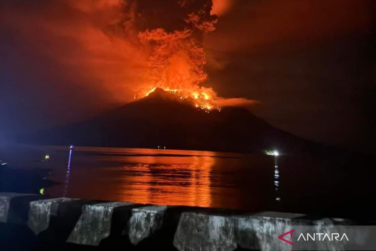
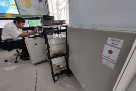
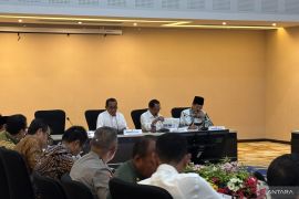
Head of the BMKG Earthquake and Tsunami Center Daryono stated here on Thursday that there were five technological resources, such as the Tide Gauge equipment and the Automatic Maritime Weather System in Sangihe Islands, Bitung, and Siau Island.
The BMKG ensures that each of these technologies is operated optimally together with officers from the Geospatial Information Agency (BIG) and the Center for Volcanology and Geological Disaster Mitigation (PVMBG) to monitor the potential for a tsunami due to the eruption of Mount Ruang.
"Together with PVMBG, we continue to monitor sea levels to anticipate the potential for a tsunami around Mount Ruang," Daryono stated.
He explained that in geological science, volcanic eruptions have the potential to cause tsunamis, and the impact can also be quite large.
This is caused by the phenomenon of flank collapse or the collapse of part or all of the mountain body.
Although it has not yet occurred, he underscored the need to watch out for such a phenomenon, as based on the BMKG records, such an incident had been recorded on Mount Ruang in 1871, which caused a tsunami as high as 25 meters and killed around 400 people.
"Stay alert, but, apart from that, BMKG monitoring results so far show that all sea conditions are normal, and there are no anomalies as feared," he stated.
Earlier, the PVMBG data stated that during the last 24 hours, there had been five eruptions as high as 1,800 meters to 3,000 meters from the peak of Mount Ruang.
The explosive eruption caused rumbling sounds, earthquakes, and flashes of volcanic lightning.
During the April 1-17, 2024, period, the PVMBG recorded 1,439 deep volcanic earthquakes, 569 shallow volcanic earthquakes, six local tectonic earthquakes, and 167 deep tectonic earthquakes on Mount Ruang.
The National Disaster Management Agency (BNPB) confirmed that 272 families, or 828 residents, in Tagulandang Biaro Siau Islands had been evacuated by ship due to the eruption of Mount Ruang from Tuesday to Wednesday.
Related news: Mt Ruang eruption survivors need mats, blankets, tents: BNPB
Related news: Some 272 families evacuated due to Mount Ruang's eruption: BNPB
Translator: M. Riezko Bima Elko Prasetyo, Katriana
Editor: Azis Kurmala
Copyright © ANTARA 2024
