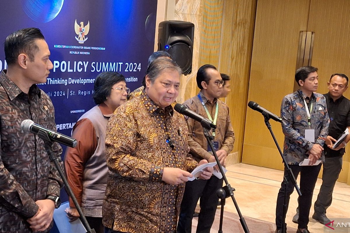
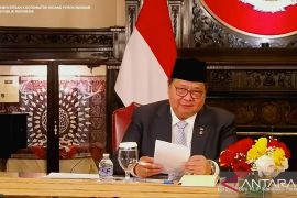
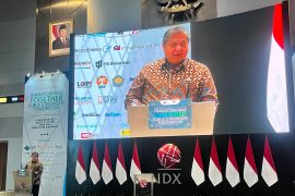
"Based on the strategic value and usefulness of the One Map Policy, a White Paper One Map Policy Beyond 2024 is currently being prepared, which includes recommendations for the sustainability of the implementation of the One Map Policy post-2024," he informed at the One Map Policy Summit press conference in Jakarta on Thursday.
According to him, there are a total of six recommendations, which include the strengthening of the legal basis for implementing the One Map Policy through safeguards in the Geospatial Law (UU) and its derivatives. The government has also recommended the preparation of a "Grand Design for the One Map Policy."
The next recommendation is to realize and update large-scale thematic maps and base maps, followed by resolving discrepancies in space utilization, and improving the technology and infrastructure of the One Map Policy Geoportal.
The fifth recommendation involves increasing the availability and capacity of geospatial human resources (HR) and the sixth, strengthening collaboration and budget optimization.
According to Hartarto, the geoportal has proved useful for geospatial data and information-sharing activities, which have been widely utilized by ministries/institutions (K/L) and regional governments.
They have been used for improving the quality of spatial planning and accelerating the confirmation of provincial and K/L administrative boundaries, including improving licensing governance and efforts to resolve land overlaps.
"This policy has completed 151 thematic maps from 23 governments in 38 provinces. Various data and information are carried out using the One Map Policy Geoportal and have been widely used by various ministries/institutions," he highlighted.
As of June 2024, the One Map Policy had resolved discrepancies in the utilization of 19.97 million hectares of land — from 77.38 million hectares in 2019 to 57.41 million hectares, the minister informed.
He said that the policy involves four main activity stages, namely compilation, integration, synchronization, and activities for sharing geospatial data and information.
The 2024 One Map Policy Summit is expected to provide details on the progress of efforts to accelerate the implementation of the policy and resolve discrepancies in space utilization.
The summit will also discuss recommendations for ensuring the sustainability of the policy and ways to resolve discrepancies in space utilization after 2024.
Hartarto further said that the summit aims to encourage sustainable national development since it has increased the use of thematic maps, which are a product of the One Map Policy.
On the same occasion, head of the Geospatial Information Agency (BIG), Muh. Aris Marfai, said that the One Map Policy has remained a work program of ministries/institutions, providing access and openness to data and information and increasing the quantity and capacity of quality human resources in geospatial information.
Related news: Ministry sees scope to develop maritime industrialization further
Related news: Indonesia bearing witness to widespread adoption of green leadership
Related news: Nusantara Sustainability Hub could be green economy R&D center: Jokowi
Translator: Bayu Saputra, Resinta Sulistiyandari
Editor: Azis Kurmala
Copyright © ANTARA 2024
