Head of the Geological Agency Muhammad Wafid AN said the recent increase in seismic activity and the appearance of incandescent lava avalanches should be closely monitored.
The main hazards of Mount Karangetang include magmatic eruptions and pyroclastic flows that may descend into valleys from either the northern or southern craters.
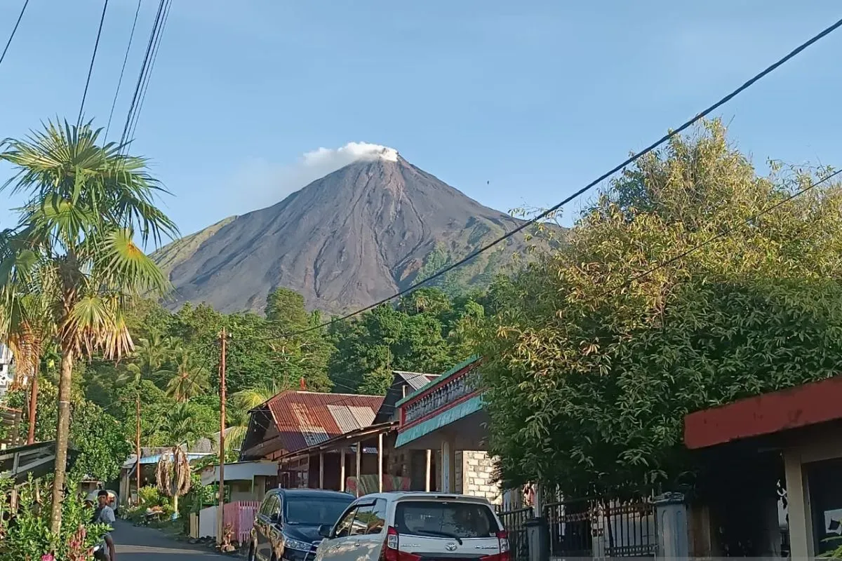
A special report shared through the “Info Gunung Api Sitaro” communication group noted that Karangetang’s activity is typically effusive in nature, characterized by the extrusion and flow of lava domes into surrounding valleys.
Monitoring data indicate rising seismic activity since August 5, 2025, with an average of 40 emission quakes recorded per day.
The activity intensified on August 17, 2025, when emission quakes increased to 96 per day, accompanied by 13 episodes of harmonic tremor.
As of October 8, 2025, high activity continued with 83 emission quakes and 12 harmonic tremors recorded daily.
On October 9, 2025, at 6:30 p.m. Central Indonesia Time (WITA), visual observation showed glowing lava avalanches from the northern crater moving toward the southern crater, reaching a distance of approximately 700 meters - still within the recommended safe zone.
Despite the increase in volcanic activity, Mount Karangetang remains at Level II or Alert status.
The Geological Agency advises residents to avoid activities within a 1.5-kilometer radius of both the northern and southern craters, and within 2.5 kilometers in the southwest and southern sectors of the southern crater.
The public is urged to stay calm, follow official instructions from the Geological Agency through the Center for Volcanology and Geological Hazard Mitigation (PVMBG), and avoid spreading unverified information regarding the volcano’s activity.
Official updates on Mount Karangetang’s activity can be obtained from the Mount Karangetang Observation Post in Salili Village, Siau Tengah Sub-district, District of Sitaro, North Sulawesi, or through the official PVMBG website at https://vsi.esdm.go.id and other verified information channels.
Related news: Mount Semeru erupts on Wednesday, spewing 800 meters ash column
Related news: Mt. Lewotobi: Residents warned of cold lava floods
Related news: Mount Dukono erupts, ash column reaches 1.2 km
Translator: Primayanti
Editor: M Razi Rahman
Copyright © ANTARA 2025


