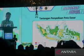
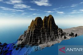
Angeline Sondakh, a member of the House of Representatives (DPR)`s Commission X, said data and information about potential areas, the borders of the Unitary State of the Indonesian Republic (NKRI), disaster-prone areas, as well as traffic congestion areas can now be easily obtained by people following the enactment of the Geospatial Infomation Law.
"All information about the NKRI borders, spread of diseases, disaster-prone areas, traffic congestion zones, potential areas, and even poverty-hit areas can be mapped accurately and accessed easily by the people," Angelina said.
She welcomed the passage of the Geospatial Information bill into law by the House of Representatives, and added that she would familiarize the public with the law.
Although Angelina is not a member of House commission on environment, as an environment activist she realized the importance of sustainable environment for the people.
Therefore Angelina reiterated that she fully supported the passing of Geospatial Information bill into law and was ready to familiarize it.
"I am optimistic that with the presence of Geospatial Information Law, various geospatial information can be easily accessed by the people from all walks of life," Angelina said.
According to her, the geospatial information would be very useful for the government in the determination of strategic policy to overcome various problems in the community.
"The more we are aware of the privilege of earth all around us, the more we are responsible to protect our planet and its environment
with the availability of information for the solution of more complicated problems," Angelina said.
To her, the Geospatial Information Law could serve as an effective reference for every stake holder in the evaluation of every program and policy. (*)
O001/HAJM
Editor: Jafar M Sidik
Copyright © ANTARA 2011


