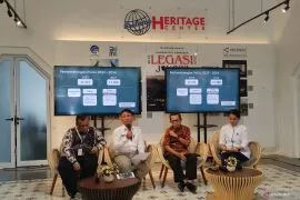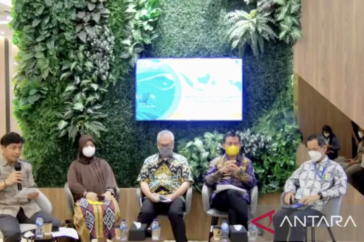
For example, to build a shop or café, the public can get geospatial information such as thematics about population, potential for disaster, accessibility, infrastructure, and so on.Jakarta (ANTARA) - The Geospatial Information Agency of the Coordinating Ministry for Economic Affairs has successfully completed the compilation of 144 thematic geospatial information (IGT) as of September 8, 2022, or more than 90 percent of the total target of 158 IGT. "We have completed 90 percent (of the target), and in the second semester of this year and next semester (in 2023), we will pursue what has not been resolved. It can be resolved," head of the Geospatial Information Agency of the coordinating ministry Aris Marfai said at an online media conference here on Tuesday.
The 158 IGTs were derived from the 86 IGTs specified under Presidential Decree No. 9/2016 and an additional 72 IGTs specified under Presidential Decree 23/2021, which include maritime maps, disaster maps, land maps, economic maps, financial maps, and licensing maps, he informed.
Related news: House Speaker urges govt to conduct cybersecurity audits in ministries
The 13 IGTs that have not been integrated so far include a map for determining the location of land acquisition for public interest at a scale of 1:50,000, a map of state-owned enterprises’ (BUMN’s) warehouse area at a scale of 1:50,000, a map of critical land at a scale of 1:50,000, and a map of customary rights. Meanwhile, 1 IGT, namely a map of the national strategic area zoning plan, has not been compiled because it is related to the Job Creation Act.
"The map has existed. We just need to carry out compilation and coordination with the related ministries/agencies," he said.
To accelerate the completion of compilation and integration, the government has established a number of mechanisms and work procedures, such as the determination of the IGT data guardian for ministries/agencies, the IGT national working group, and the mechanism and work procedure, besides guidance and technical assistance, Marfai informed.
He further emphasized that digitalized IGT could encourage people to participate more in economic activities and make it easier for people to take various initiatives related to the economy.
Related news: KPU to upgrade cybersecurity system to prevent election data leak
"For example, to build a shop or café, the public can get geospatial information such as thematics about population, potential for disaster, accessibility, infrastructure, and so on," he explained.
The compilation and integration of IGT activities is a part of the main activity of the one-map policy, which aims to accelerate the implementation of national development. The one-map policy can help generate geo-portal database reference standards.
The data can be used as a reference for spatial-based development, integrated spatial planning, and utilized in spatial plans on the land, sea, in earth, and air to resolve overlapping spatial uses.
Related news: Media should edify on ways to protect personal data: DPR
Related news: Ministry continually updates data to ensure assistance on target
Translator: Kuntum K, Azis Kurmala
Editor: Fardah Assegaf
Copyright © ANTARA 2022