"The earthquake did not have the potential to cause a tsunami and therefore we call on the local community to stay calm and not to panic," head of Denpasar`s Meteorology, Climatology, and Geophysics Agency (BMKG) Wayan Suwardana said here on Thursday.
He said the earthquake whose epicenter was located 143 km southwest of Nusa Dua at a depth of 10 km below sea level was also felt by people in areas outside Bali.
It was reported temblor also shook West Nusa Tenggara`s provincial capital of Mataram and Sumbawa island at 10.15 local time on Thursday morning.
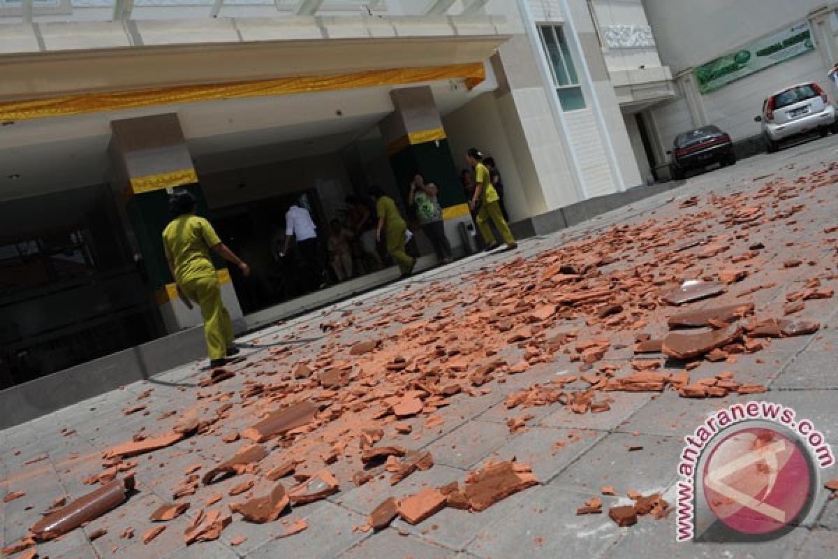
"There have been no immediate reports of casualties or material damage in Bali and Mataram from that powerful earthquake whose epicenter was located at 9,89 degrees southern latitude and 114,53 degrees eastern longitude," Wayan Suwardana said.
Suwardana added that a special investigation team has been sent to find out the impact of the quake that caused panic among Bali residents.
Indonesia is prone to seismic upheavals due to its location on the so-called Pacific "Ring of Fire", an arch of volcanoes and fault lines encircling the Pacific Basin.
Earlier, an earthquake measuring 5.1 on the Richter scale struck off Waingapu in East Nusa Tenggara (NTT) province on Tuesday morning, October 4, 2011.
The temblor which occurred at 05.08 a.m. was centered 25 km northeast of Waingapu or 1,537 km southeast of Jakarta at a depth of 67 km, the Meteorology, Climatology and Geophysics (BMKG) said in its official website.
(SYS/O001)
Editor: Suryanto
Copyright © ANTARA 2011
