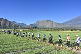
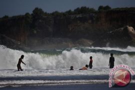
"Now the 10 geosites have been recognized as national geopark. Then we will promote them to be included the International Geo-park list under the United Nations Educational, Scientific and Cultural Organization (UNESCO)," Head of Gunung Kidul District Development Planning Board (Bappeda) Syarief Armunanto said here on Tuesday.
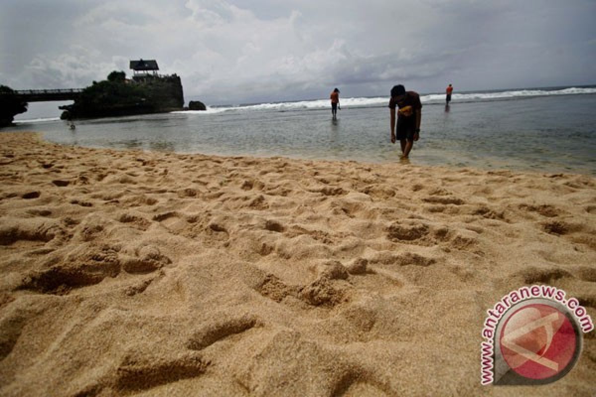
The ten geosites are now called Mount Sewu National geopark that covers Mount Nglanggeran, sediment sea of first miosen era Sambipitu, Pindul cave, Kali Suci complex, ancient cave Luweng Jomblang, Siung Wediombo beach, dry ancient valley Sadeng, Bleberan waterfall, Jlamprong cave and Luweng Cokro cave.
Syarief said the local government will install several sign posts to the geosite tourism objects involving the public.
"The basic of the geopark development is the public`s participation. The government is only supporting and coaching them. The government is also looking for the link for their funding," he said.
"The public role could be the preservation of local resident culture and nature."
He hoped the geosites to improve the local residents` welfare by its economical potential.
"The geosites like Pindul cave, Jomblang cave, Kali Suci complex have been managed by local residents. It gives income for them," he said.
He added, the developing of the geosites are allowed but it must keep the nature sustainability.
Bapedda also will purpose other geosites in Gunung Kidul to be recognized as National Geopark such as ancient river Bengawan Solo.
Gunung Kidul is a barren district in Yogyakarta but has uncovered exoticism by its landscape.
It has specific landscape in its geological texture. There are some karst (chalk or marble land layer) mountains, caves, beaches and other tourism objects.
Reported by: Sutarmi
(A061/F001)
Editor: Jafar M Sidik
Copyright © ANTARA 2013
