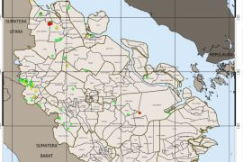
"In Sumatra, the highest number of hotspots is still in Riau, with 297 of them, a significant increase from the 37 hotspots seen the previous day," Tri Puryanti, an analyst with the Pekanbaru BMKG, said here on Tuesday.
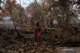
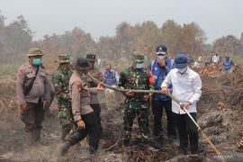
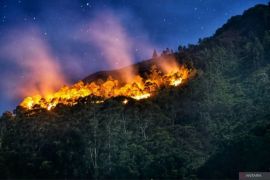
The hotspots have created a haze that is currently polluting the air of Riau`s cities and districts.
Pelalawan District alone has more than 100 hotspots, and others were found in the Indragiri Hulu District, Indragiri Hilir, and Kampar, Puryanti noted.
Meanwhile, the National Disaster Mitigation Agency (BNPB), quoting NOAA 18 Satellite`s data, announced that Riau`s 10 districts and cities have a total of 264 hotspots.
Pelalawan District has 76 hotspots, while Indragiri Hulu has 42; Rokan Hilir, 34; Indragiri Hilir, 29; Kampar, 26; Bengkalis, 20; Siak, 11; Rokan Hulu, 8; and Dumai City, 4.
BNPB pointed out that other provinces on Sumatra Island also have hotspots.
The NOAA 18 satellite has detected 100 hotspots in West Sumatra, while Jambi has 57; South Sumatra, 31; Bengkulu, 15; and North Sumatra, 12.
The haze produced by this collection of hotspots has drastically reduced visibility in Pekanbaru to only 500 meters on Tuesday morning.
Several flight schedules had to be postponed, and flight arrivals were diverted to Medan (North Sumatra) and Batam (Riau Island).
The fastest and cheapest way to clear new land for planting crops is by burning; however, this practice has been banned by the government. (*)
Editor: Heru Purwanto
Copyright © ANTARA 2013

