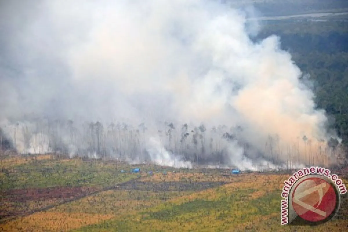
"Based on data taken through aerial and land surveys, the land and forests that have been set on fire reached 6,000 hectares," Sutopo Purwo Nugroho, the head of the data information center of the National Disaster Mitigation Agency (BNPB), said here on Saturday.
The locations set on fire included the world nature preserves Biospher Giam Siak Kecil, Bukit Batu in Bengkalis District and the National Tesso Nello Park.
Several fires also broke out at plantations. The fire at the Biosphere Siak Kecil Preserve caused a thick cloud to blanket Pekanbaru City, Riau. The air pollution standard index reached 375 in Bengkalis and 500 in Duri.
"This has reached a dangerous level," Sutopo stressed.
He added that the Ministry of Forestry had also reported 70 hotspots detected by the NOAA18 satellites in Riau.
Meanwhile, Chief of the National Disaster Mitigation Agency (BNPB) Syamsur Maarif stated on Friday that some 99 percent of forest and plantation fires in Sumatra and Kalimantan were deliberately set.
"There should be sanctions to stop recurrences. Slash-and-burn farming methods exist in Sumatra and Kalimantan, but the most important is that this should be controlled," Syamsul Maarif noted in a statement.
As part of law enforcement actions, the Indonesian police have named 23 suspects in Riau and 16 in Central Kalimantan for allegedly setting fires.
"There are several factors behind their decision to set fires in plantation and forest areas, such as economic, social and cultural factors," he explained.
The dry season in Sumatra and Kalimantan has triggered forest and plantation fires that produced haze.
The NOAA 18 satellite on Thursday detected 17 hotspots in Aceh, 12 in East Kalimantan, 10 in West Kalimantan, four in North Sumatra and four in North Kalimantan.
(T.A014/A/KR-BSR/F001)
Editor: Aditia Maruli Radja
Copyright © ANTARA 2014


