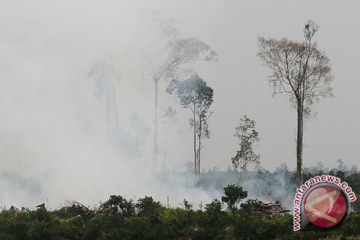
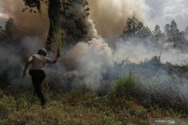
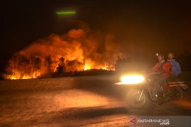
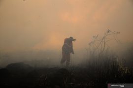
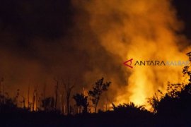
... number of hotspots has increased from 266 in July to 708 on August 26...Sungai Raya, West Kalimantan (ANTARA News) - As many as 478 hotspots were detected in West Kalimantan Province until September 1, according to the meteorology office in Pontianak.
Most of the hotspots were found in the districts of Ketapang, Melawi, Sintang, North Kayong, and Kubu Raya.
Plantation and peatland fires in the province have caused haze that has reduced visibility up to one thousand meters. Some parts of the province have received rainfall, and the visibility has improved over the past few days.
The general manager of the airport management company PT Angkasa Pura branch of Supadio Airport in Pontianak noted that the haze did not affect Wednesday's flight schedules.
On the previous day, haze had forced the postponement of 16 flights to and from Pontianak until 9 a.m. local time.
"But after 9 am local time, the flight operations were back to normal," he added.
In the meantime, in the neighboring province of Central Kalimantan, a total of 1,183 hotspots had been detected over the past eight months, of which 708 were found in August.
"The number of hotspots has increased from 266 in July to 708 on August 26," staff member of the early surveillance division of Central Kalimantan Provinces Natural Resources Conservation Agency (BKSDA) Andreas Dody noted last week.
The hotspots, mainly caused by forest and bush fires, were detected in the districts of Kotawaringin Timur, Kotawaringin Barat, Pulang Pisau, Kapuas, Seruyan, Katingan, Palangka Raya city, Sukamara, Lamandau, Murung Raya, Barito Utara, Barito Selatan, and Barito Timur, he affirmed.
According to the province's Natural Disaster Mitigation Agency Head Brigong Tom Moenandaz, forest and bush fires have affected 665.8 hectares of land until August 26.
Forest and bush fires were detected in various districts, including Sukamara, Kotawaringin Barat, Palangka Raya city, Barito Utara, Pulang Pisau, Kapuas, and Katingan, he revealed.
Editor: Ade P Marboen
Copyright © ANTARA 2015
