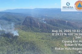
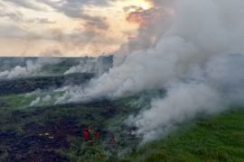
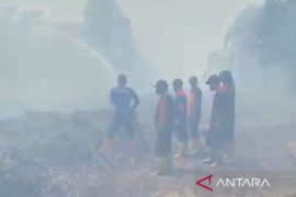
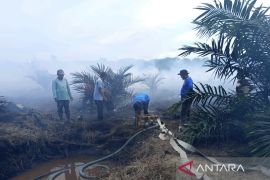
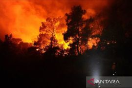
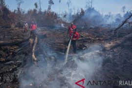
"A team is still collating data of the total area on fire, though it is estimated to be in the range of 500 to 600 hectares," Nurendi stated here on Friday.
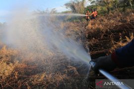
Most of the fires had been extinguished despite the fact that time was critical as there were over 200 hotspots, he added.
Among the worst-affected areas were Rokan Hilir and Dumai, which had been shrouded by haze before the commemoration of the Independence Day on August 17.
"The smoke haze was quite thick. Bagan Siapi-api was also covered by haze for one day," he noted.
He was in Rokan Hilir and Dumai for three days to supervise the efforts to put out the fires, carried out from the air and on land by joint teams comprising military, police and civilian personnel.
In the meantime, hotspots indicating forest, peatland and plantation fires were lately detected in several provinces of Indonesia.
Riau, Jambi, South Sumatra, West Kalimantan and Central Kalimantan have declared an emergency alert status in anticipation of land and forest fires, according to the National Disaster Mitigation Agency (BNPB).
"The other provinces prone to land and forest fires are South Kalimantan, East Kalimantan, North Kalimantan and North Sumatra, but they have not declared an emergency alert status," Sutopo Purwo Nugroho, BNPBs spokesman, observed recently.(*)
Editor: Heru Purwanto
Copyright © ANTARA 2016
