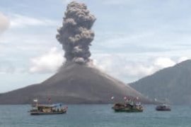
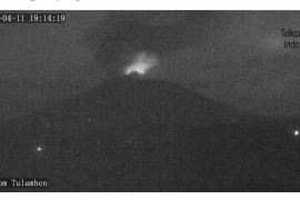
"According to the images received from Himawari climate satellite, we have not yet found volcanic ashes," Head of Denpasar BMKG, Taufik Gunawan, stated on Tuesday.
The climatology agency further forecast that the 5-10 knots wind would move to the eastern-southeastern regions, which was situated at 3 thousand meters above sea level, at 12.00 p.m. local time.
The agency also predicted that the wind would also move from the northeast, mainly in a highland situated at 5 thousand meters above sea level.
Meanwhile, the Volcano Observatory Notice for Aviation (VONA) has launched a "yellow" code for flights in the Bali province.
According to the World Organization of Volcano Observatories (WOVO), the yellow sign means that "the volcano is experiencing signs of elevated unrest above known background levels."
At a different occasion, the Energy and Mineral Resources Ministrys Volcanology and Geological Hazard Mitigation Center (PVMBG) reported that the 3,142-meter Mount Agung had experienced stronger earthquakes, with total of 369 tremors, between Sept 21 and 25.
Until 8 a.m. local time on Tuesday, the climatology agency has recorded that the tremors magnitude varied from 2.6 to 3.0.
Head of PVMBG Kasbani on Tuesday remarked that the volcanic activity in Mount Agung has slightly decreased, despite its critical status.
"However, the volcano could increase its activity any time," Kasbani stated in Karangasem, a district situated at the foothill of the mount.
Following the critical stage of the mount, several countries, such as US, UK, and Australia, have issued a travel advice to their citizens to closely monitor the local media, follow instructions from local authority, and avoid the affected zones.(*)
Editor: Heru Purwanto
Copyright © ANTARA 2017


