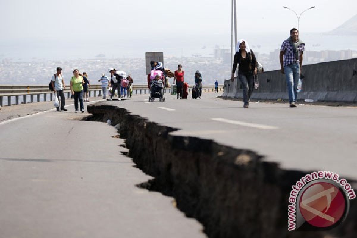
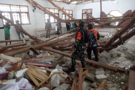
Local Meteorology and Geophysics Office (BMKG) spokesman Cut Bau Maimun Saleh remarked that the earthquake which struck the district at 4:43 a.m. West Indonesia Standard Time (WIB) did not have a potential to trigger a tsunami.
He said the epicenter of the earthquake was located at 2.56 degrees northern latitude and 95.83 eastern longitude at a depth of 25 km, and some 23 km southwest of Simeulue.
On December 26, 2004, at 7:59 am WIB, an undersea earthquake with a magnitude of 9.1 struck off the coast of the island of Sumatra.
Over the next seven hours, a massive tsunami triggered by the quake reached out across the Indian Ocean, devastating coastal areas as far away as East Africa.
Some locations reported that the waves had reached a height of nine meters or more when they hit the shoreline.
The tsunami killed at least 225,000 people across a dozen countries, with Indonesia, Sri Lanka, India, Maldives, and Thailand sustaining massive damage.
Indonesian officials estimated that the death toll there alone ultimately exceeded 200,000, particularly in northern Sumatras Aceh province.
(O00/f001)
(O00/F001)
Editor: Jafar M Sidik
Copyright © ANTARA 2017


