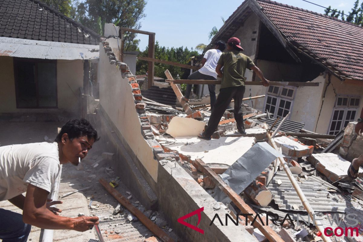
According to the Indonesian Agency of Meteorology, Climatology and Geophysics (BMKG), the earthquake was located at 8.24 south latitude, 166.66 east longitude or 32 kilometers northeast of East Lombok district at a depth of 10 kilometers.
The tremor lasted for four minutes, following a 5.4 magnitude earthquake at 12.06 local time (WITA) located at 8.29 south latitude, 116.62 east longitude or 25 kilometers northeast of East Lombok at a depth of 10 km.
There is no further report on casualties due to the earthquake.
Reporting by Awaludin
Reporter: Antara
Editor: Sri Haryati
Copyright © ANTARA 2018


