According to data of the Meteorology, Climatology, and Geophysics Agency (BMKG) station in Pekanbaru last updated at 6 a.m. local time, the highest number of hotspots were detected in South Sumatra, with 57 spots, followed by 28 in Riau, 19 in Bangka Belitung, 13 in Lampung, seven in Jambi, and three in Riau Islands.
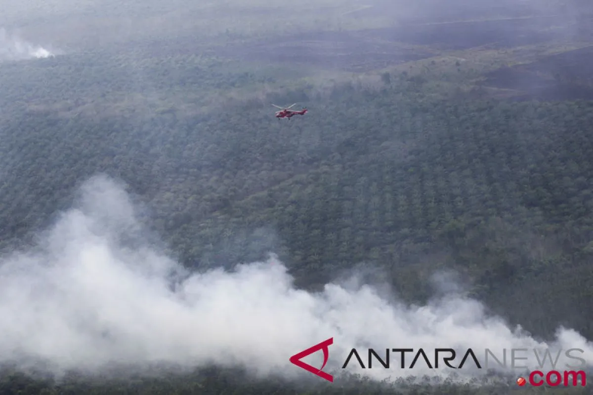
In Riau, the 28 hotspots were detected in coastal areas comprising 16 in Indragiri Hilir District, nine in Indragiri Hulu, and three in Pelalawan.
Of the total number, 18 were detected as land and forest fires: 10 in Indragiri Hilir, five in Indragiri Hulu, and three in Pelalawan.
The weather in Riau currently is partly cloudy, with light local rain. Temperature ranged between 23 to 34 degree Celsius and humidity at 45 to 97 percent. Wind speeds of 9-27 kilometers per hour were recorded from east to south.
BMKG Riau has identified three areas as being most prone to land and forest fires based on the no-rain day analysis.
"The most prone area is Bandar Pelatangan Sub-district in Pelalawan District due to 24 no-rain days," Ardhitama, an official of the Riau climatology station, stated.
Two other regions are Tebing Tinggi Timur Sub-district, with 18 no-rain days, and Rangsang Sub-district, with 12 no-rain days, both being in the Meranti Islands District.
Reporting by FB Anggoro
Editing by Sri Haryati, Bustanuddin
Reporter: Antara
Editor: Fardah Assegaf
Copyright © ANTARA 2018


