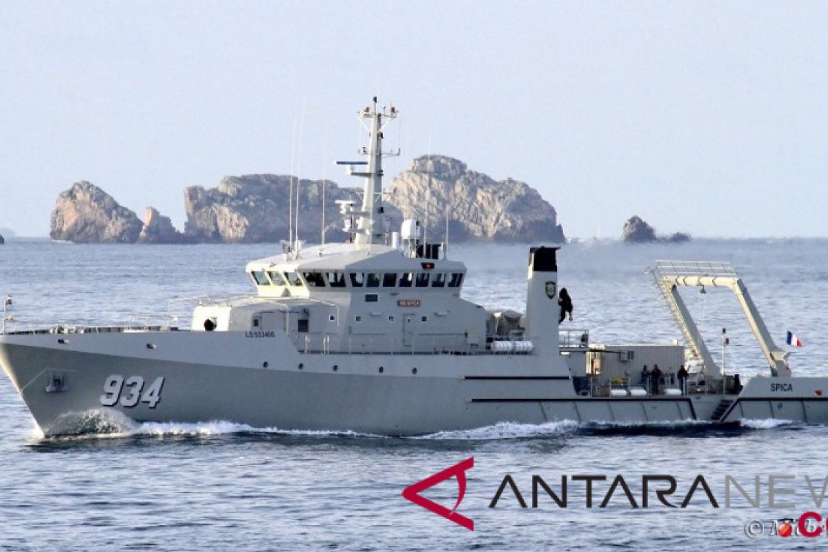
The survey ship of the Navy Hydrography and Oceanography Center (Pushidrosal) detected the landslides at a depth of 200-500 meters in the seabed when carrying out a survey in the bay of Palu following the earthquake and tsunami late last month in the western coastal area of Central Sulawesi.
The earthquake with a magnitude of 7.4 on the Richter scale struck followed by tsunami that swept across wide areas around Palu and Donggala leaving more than 2,000 people dead.
Head of the hydrography and oceanography center Rear Admiral Harjo Susmoro said in a written statement here on Friday the data was found by the KRI Spica after holding full covered survey in the Bay of Palu using Multibeam Echosounder EM-302 that could measure a depth of the sea up to 6,000 meters.
Harjo said the result of the survey was confirmed by tsunami experts Dr Gegar Sapta Prasetya and Dr Rahman Hidayat, who were on board of the KRI Spica to take part in the survey. The experts called the slides as a "submarine slumps" believed to have given devastating power to the tsunami.
That explained why the sea water that engulfed Palu looked greyish unlike the clear water that rolled over Donggala, an observer said.
Rear Admiral Harjo, who is a hydrographer, said the finding is expected to be useful in the efforts to mitigate the impact of earthquakes and tsunami in the future.
In Central Sulawesi the information should be considered in planning development of infrastructure in coastal area, he added.
He said it is difficult to predict land slides in seabed even with the use of high technology detecting system.
"Sometimes sciences and technology could not explain all that occur on the earth surface . As a religious nation we should not dismiss God`s might and wishes. Therefore, we should come closer to God and strengthen our faith in Him," he said.
Reporting by Syaiful Hakim
Editing by A Saragih
Reporter: Antara
Editor: Fardah Assegaf
Copyright © ANTARA 2018
