Deputy Chief of the task force Edwar Sanger informed ANTARA here on Tuesday that the area covered 12 districts and cities in the province.
"The largest area was in Bengkalis covering 1,426 hectares of land," Sanger, concurrently managing chief of the Regional Mitigation Agency (BPBD) of Riau, stated.
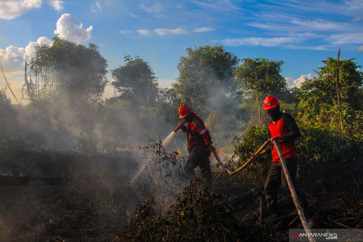
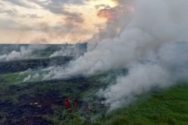
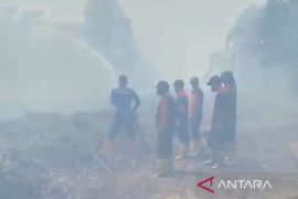
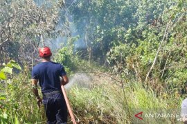
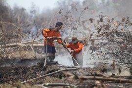
During the period, the worst forest fire in Bengkalis hit Rupat Island on the edge of the Malacca Straits bordering with Malaysia. The forest fire in the area that began from early this year has compelled the Indonesian Military chief to step in and deploy one thousand personnel of the Army Strategic Command to help extinguish the fire.
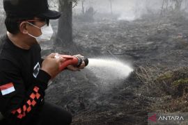
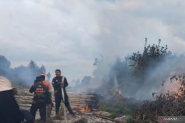
A joint team of the Indonesian Military, Indonesian Police, BPBD, the Environment and Forestry Ministry's firefighters, and local residents have continued to remain on alert as a precautionary measure against the surfacing of new hotspots in the area.
Land and forest fires also ravaged other districts in the coastal area of Riau, covering 264.75 hectares in Rokan Hilir; 343.7 hectares in Siak; 264.75 hectares in Dumai; and 232.7 hectares in Meranti.
In 2019, Riau's coastal areas experienced more arid weather conditions and less rains than other regions in the province.
In other parts of the province, land and forest fires were detected in Pekanbaru, reaching 46.51 hectares; 64.1 hectares in Kampar; 87 hectares in Pelalawan; 118.6 hectares in Indragiri Hilir; 71.5 hectares in Indragiri Hulu; five hectares in Kuansing; and two hectares in Rokan Hulu.
Sanger remarked that the task force had continued to take measures to prevent further land and forest fires in the province.
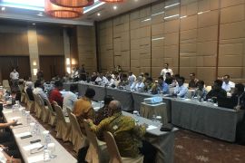
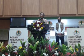
The Riau administration has reactivated the task force after imposing an emergency status on land and forest fires, effective from February 19 to October 31, 2019.
Translator: Anggi Romadhoni, Sri Haryati
Editor: Bambang Purwanto
Copyright © ANTARA 2019
