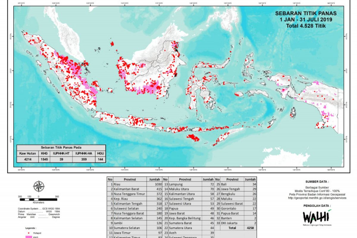
The number of the hotspots was higher than that in 2018 but lower than that recorded in 2015Jakarta (ANTARA) - The Indonesian Environmental Affairs and Forestry Ministry recorded 2,070 hotspots, with a confidence rate at over 80 percent, during the January-July 2019 period, based on monitoring of the Terra and Aqua Modis satellites.
"The number of hotspots was higher than that in 2018 but lower than that recorded in 2015," Eva Famurianty, head of the Early Warning and Detection Section of the Climate Change Mitigation Directorate General of the ministry, remarked here on Wednesday.
In 2018, the number of hotspots across Indonesia reached 1,338, up from 362 in 2017.
The number of hotspots in Riau Province during the January-July period surged by 406 hotspots compared to that during the same period in 2018, while the figure was up by 43 hotspots in Central Kalimantan, and in West Kalimantan, the figure went down by 159.
This year's El Nino is relatively weak, but the number of days when no rains were received is longer, notably between 30 and 120 days. Several regions have also experienced rainless days for over 120 days.
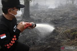
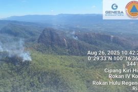
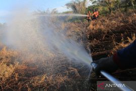
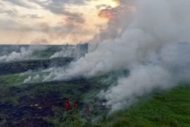
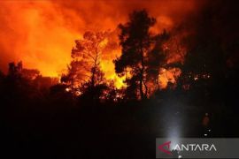
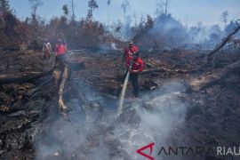
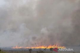
During the same period, the Landsat satellite image indicated that a total of 135,747 hectares of forest areas were razed by fires. The indicative gutted forest areas comprised 31,002 hectares of peatland areas and 104,746 hectares of mineral land areas.
The ministry's Director of Forest Fire Mitigation Raffles B. Panjaitan remarked that of the eight provinces prone to forest fires, six have declared an emergency status for forest fire.
The six provinces are Riau, with the emergency status declared from Feb 19 to Oct 31, or 255 days; West Kalimantan (from Feb 12 to Dec 31, or 323 days); South Sumatra (March 8-Oct 31, or 237 days); Central Kalimantan (May 28-Aug 26, or 91 days), South Kalimantan (June 1-Oct 31, or 153 days), and Jambi (July 23-Oct 20, or 90 days).
Related news: 773 hotspots identified across Indonesia: BNPB
Related news: Parts of ASEAN to be fire-prone next week
Meanwhile, Dumai City in Riau also declared an emergency status (Feb 13-May 31, or 108 days), Sambas in West Kalimantan (Feb 1-Dec 31, or 334 days), and Kapuas also in West Kalimantan (July 8-Oct 5, or 90 days).
Forest and peatland fires in Riau reached 27,635 hectares; Aceh, 333 ha; West Sumatra, 129 ha; South Sumatra, three ha; North Sumatra, 17 ha; West Kalimantan, 1,291 ha; South Kalimantan, 602 ha; Central Kalimantan, 963 ha; East Kalimantan, 223 ha; and North Kalimantan, five ha.
Mineral land areas gutted by fires in 28 provinces reached 104,746 ha in total, comprising 4,970 ha in Riau Islands Province, 2,430 ha in Riau Province, 2,452 ha in East Java, 2,024 ha in West Kalimantan, 4,068 ha in South Kalimantan, 2,655 ha in Central Kalimantan, 4,207 ha in East Kalimantan, 854 ha in North Kalimantan, 441 ha in South Sulawesi, 1,755 ha in West Nusa Tenggara, 71,712 ha in East Nusa Tenggara, and 2,851 ha in Papua, among others.
Related news: BMKG identifies 18,895 hotspots in Southeast Asia, Papua New Guinea
Related news: Singapore lauds Indonesia's forest fire control efforts
Translator: Fauzi, Fardah
Editor: Sri Haryati
Copyright © ANTARA 2019
