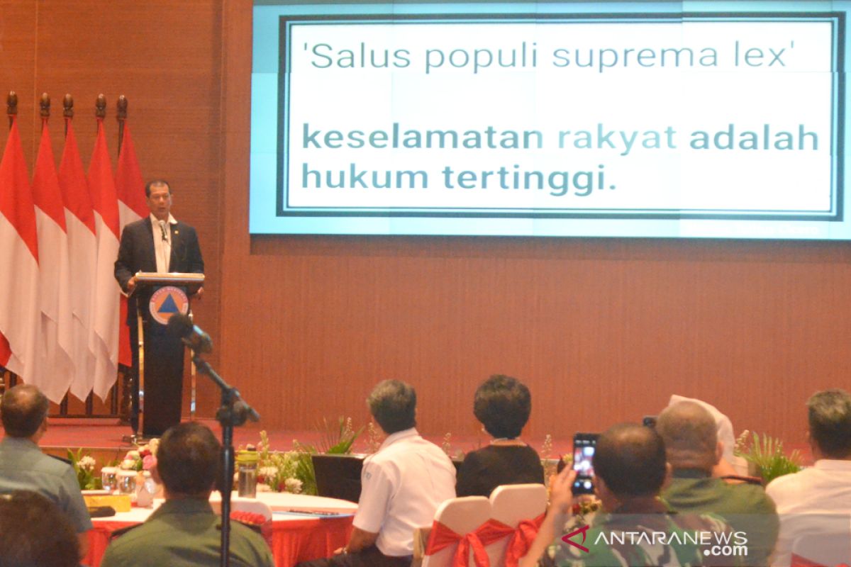
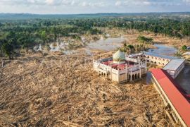
"The Agency for Meteorology, Climatology, and Geophysics (BMKG) highlights eight areas that can potentially be affected by flooding owing to heavy rains that lashed the region," Agus Wibowo remarked in Jakarta on Wednesday.
Eight areas that can potentially be affected by floods are East Java, Aceh, North Sumatra, West Sumatra, Jambi, West Java, and Central Java for which an alert status had been declared, while South Kalimantan, North Kalimantan and East Kalimantan, as well as West Sulawesi and South Sulawesi are on vigilant status.
The status is applicable from December 25, 2019, at 7 local time until December 26, 2019, at 7 local time.
Wibowo stated that East Java had declared the emergency alert status over the hydrometeorological disaster. This was stipulated in East Java Governor Decree No. 188/650/KPTS/013/2019 dated December 16, 2019.
"An emergency alert status was also declared for South Kalimantan," he noted.
Currently, an emergency response status has been set for several regions of West Sumatra, Aceh, Riau, West Sumatra, and Central Sulawesi. Apart from South Kalimantan and East Java, emergency alert was declared in West Java and West Nusa Tenggara.
Related news: Social affairs ministry assists South Solok's flash flood victims
Related news: Flash flood hits South Solok District
Translator: Indriani, Azis Kurmala
Editor: Rahmad Nasution
Copyright © ANTARA 2019
