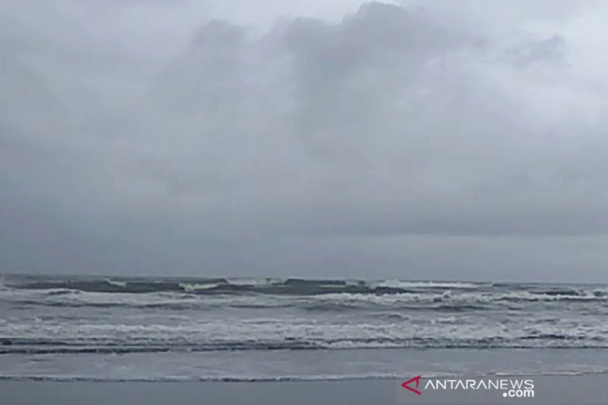
"The waves both in the southern waters of West Java to Yogyakarta and the southern Indian Ocean of West Java up to Yogyakarta are forecast to reach heights of between 2.5 and four meters," Teguh Wardoyo, head of the Tunggul Wulung Meteorological station in Cilacap, Central Java, stated on Friday.
Wardoyo has suggested passengers and providers of water transportation, tourists, fishermen, and barge operators to be wary of the potential of high waves in those waters.
He explained that the increased wind speed in the Southern Sea of Jabar, Jateng, and DIY had triggered high waves. He noted that wind speed in the southern region of Indonesia was forecast to lie in the range of five to 20 knots and blow from the north-west.
"Hence, we have again issued a high-tide early warning in the southern waters of West Java-Yogyakarta and the south Indian Ocean of West Java-Yogyakarta, effective on February 14-15," he stated.
Wardoyo appealed to fishermen and all those conducting activities at sea to be vigilant of the information on weather forecasts and the wave height issued by the BMKG before departing.
"We will inform the citizens soon if there is any further information on the wave height in the southern sea of West and Central Java as well as Yogyakarta," he added. Related news: BMKG forecasts extreme weather to extend until March
Related news: BNPB cautions Jakartans against extreme weather
EDITED BY INE
Reporter: Yuni Arisandy Sinaga
Editor: Fardah Assegaf
Copyright © ANTARA 2020


