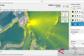
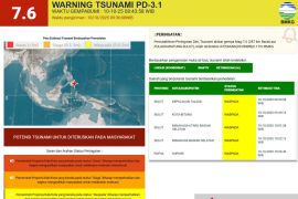
"The BMKG analysis results showed that the earthquake strength was magnitude 6.0 after it was updated. The modeling results showed there was no potential to trigger a tsunami," BMKG Earthquake and Tsunami Center Head Rahmat Triyono said in a statement here on Wednesday.
The quake's epicenter was located at 7.68 degrees southern latitude and 131.19 degrees eastern longitude, some 56 kilometers (km) northwest of Saumlaki City, Maluku, and at a depth of 63 km.
"If you look at the location of the epicenter and the depth of the hypocenter, the earthquake is a type of medium earthquake due to local fault activity. The results of the analysis of the source mechanism show that the earthquake has a horizontal movement mechanism (strike slip)," Triyono said.
The tremor was felt at IV MMI (modified mercalli intensity) in Saumlaki, II MMI in Tual.
There was no report of any damage.
Related news: North Maluku hit by 5.5-magnitude earthquake
Related news: Aftershocks jolt North Maluku following 7.1-magnitude earthquake: BMKG
Related news: Indonesia hit by 11,577 earthquakes in 2018
Translator: Desi P, Fardah
Editor: Yuni Arisandy Sinaga
Copyright © ANTARA 2020


