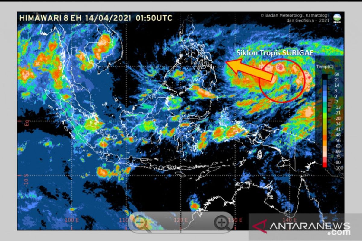
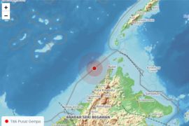
In the next 24 hours, the intensity of the Surigae Tropical Cyclone is forecast to increaseJakarta (ANTARA) - Surigae Tropical Cyclone had formed around the Western Pacific, north of Papua, at 8.2 North Latitude (LU) -137 East Longitude (BT), some 1,050 kilometers north of Biak, the Meteorology, Climatology, and Geophysics Agency (BMKG) stated.
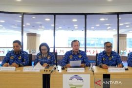
"The Surigae Tropical Cyclone is a development of the 94W cyclone seed, which earlier grew around the waters of the West Pacific, north of Papua, which was monitored since April 12, 2021," BMKG Deputy for Meteorology Guswanto stated here on Wednesday.
Guswanto explained that the tropical cyclone was formed on Wednesday at 4 a.m. local time.
The maximum wind speed around the Surigae Tropical Cyclone system is up to 40 knots (75 km/h), with pressure at its center of up to 1,000 hPa. Tropical Cyclone Surigae is moving northwest, at speeds of up to six knots (11 km/h), and approaching the eastern waters of the Philippines.
"In the next 24 hours, the intensity of the Surigae Tropical Cyclone is forecast to increase," he remarked.
The deputy stated that the presence of the cyclone in the next 24 hours could have an indirect impact in the form of potential rains of moderate- to heavy-intensity that can be accompanied by lightning and strong winds.
The indirect impact of the cyclone will be felt in North Kalimantan, East Kalimantan, North Sulawesi, Gorontalo, Central Sulawesi, West Sulawesi, North Maluku, West Papua, and Papua.
The impact is apparent from the sea waves reaching heights of 1.25-2.5 meters in the eastern part of Sulawesi Sea, waters of the Sangihe Islands-Talaud Islands, waters of the Siau Tagulandang Biaro Islands, Bitung-Likupang waters, Maluku Sea, southern waters of North Sulawesi, waters of the Halmahera Islands, Halmahera Sea, Pacific Ocean north of Halmahera, northern waters of Raja Ampat, southern waters of Biak, Cendrawasih Bay and Jayapura-Sarmi waters.
In addition, the other apparent impacts are sea waves touching heights of 2.5-4.0 meters in the waters of Manokwari, waters north of Biak, and the northern Pacific Ocean of West Papua. Meanwhile, sea waves reaching a height of four to six meters are forecast to occur in the northern Pacific Ocean of Papua.
Over the next three days, moderate- to heavy-intensity rains may potentially occur in several areas, such as the west coast of Sumatra, southern Sumatra, Banten, West Java, Central Java, North Kalimantan, East Kalimantan, northern West Kalimantan, northern Central Kalimantan, North Sulawesi, Gorontalo, Central Sulawesi, West Sulawesi, North Maluku, West Papua, and Papua.
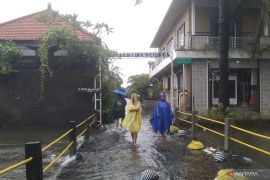
"Meanwhile, areas with alert levels for potential flooding or flash floods in the next two days, based on impact-based forecasts, are Aceh, Bengkulu, South Sumatra, Lampung, West Java, Central Java, East Java, North Kalimantan, East Kalimantan, North Sulawesi, Central Sulawesi, Gorontalo, and North Maluku," Guswanto stated.
The BMKG continues to monitor the development of Tropical Cyclone Surigae and the potential impacts of extreme weather.
Regarding the potential for extreme weather, the people are advised to not sail in the territorial waters of northern Papua, North Maluku, and North Sulawesi.
The people are advised to avoid areas prone to disasters, such as river valleys, slopes prone to landslides, easily fallen trees, and beaches, and are urged to stay alert for potential impacts, including flash floods, coastal floods, and landslides.
Related news: Seroja cyclone inflicts significant damage to nine bridges in NTT
Related news: BNPB issues tropical cyclone warning to provinces
Related news: Heavy rainfall, lightning, blustery winds forecast in several regions
Translator: Devi Nindy Sari Ramadhan, Katr
Editor: Sri Haryati
Copyright © ANTARA 2021
