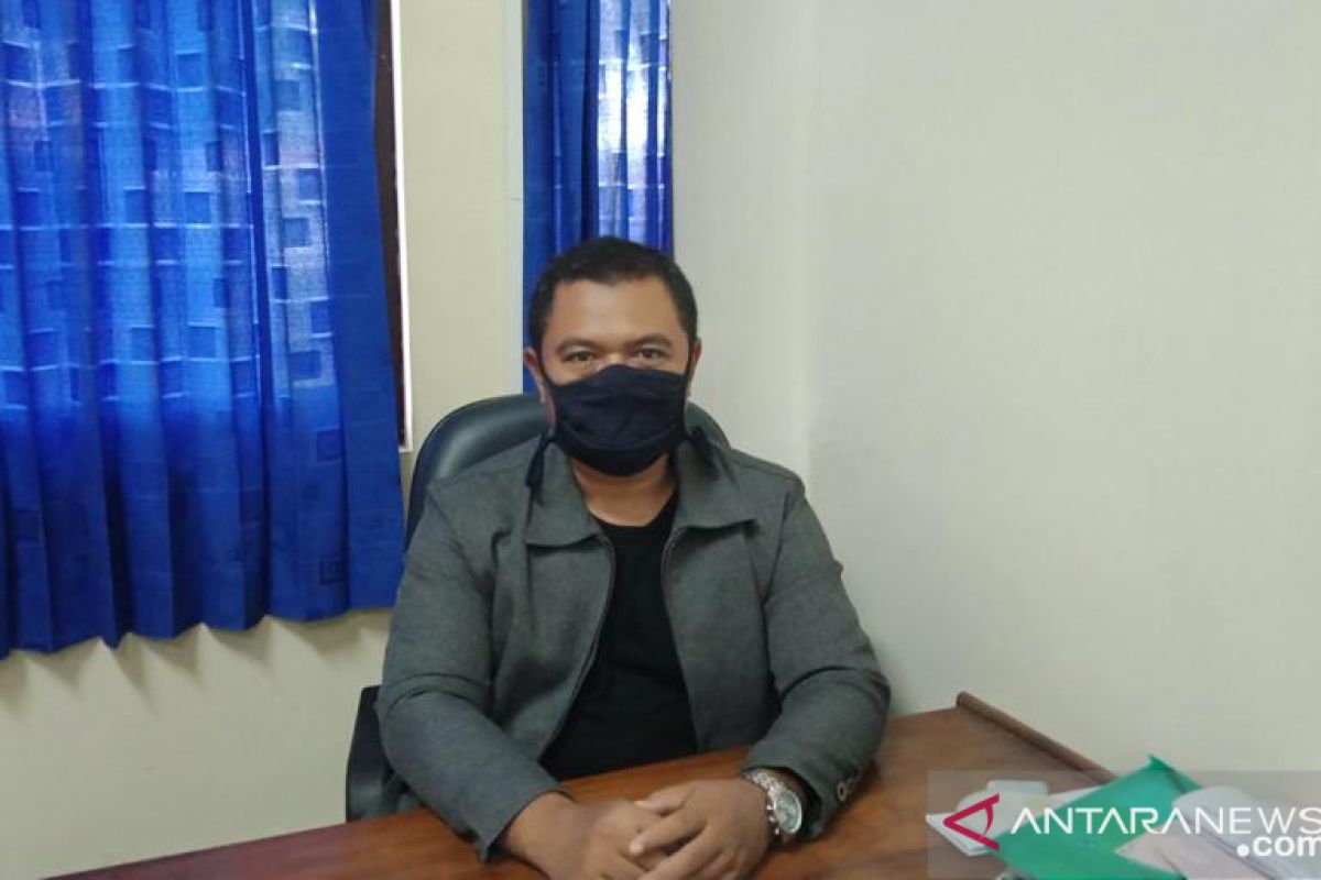
Of the total figure, 89 percent were caused by fluctuations in rainfall, either in the form of floods, extreme weather, landslides, or droughts. Floods continued to dominate the number of disasters in Indonesia, with 42 percent of all recorded disastPurwokerto, C Java (ANTARA) - Hydrology and Water Resources Expert from Jenderal Soedirman University Yanto, Ph.D. opined that the Indonesian government should continue to make flood mitigation a priority program in 2022.
During 2021, the number of natural disasters, such as floods, is still relatively high in the country, he noted here on Friday.
According to the expert, most of the 3,078 disasters in 2021, as recorded by the National Disaster Mitigation Agency (BNPB), were caused by rain.
"Of the total figure, 89 percent were caused by fluctuations in rainfall, either in the form of floods, extreme weather, landslides, or droughts. Floods continued to dominate the number of disasters in Indonesia, with 42 percent of all recorded disasters," he remarked.
Related news: Jakarta concerned about tidal flood as Formula E scheduled
To this end, Yanto opined that programs that strengthen flood mitigation efforts should be prioritized in 2022.
In addition, he highlighted the importance of stepping up efforts to lower the impacts of climate change.
"Stopping climate change is practically impossible. Hence, the only way to reduce flooding and its impacts is through good land management," the Hydrology and Water Resources expert noted.
Yanto called to conduct conservation and rehabilitation of critical land in the upstream area of the river in a bid to prevent flooding.
Related news: North Sumatra: Flood swamps 350 homes in Gunungsitoli
"Meanwhile, in the downstream areas, which are generally residential areas, flood mitigation infrastructures, such as infiltration wells and biopore infiltration holes, must be constructed," he stated.
Moreover, Yanto highlighted the importance of creating maps of flood-prone areas in an effort to strengthen mitigation capacity.
"Flood-prone maps can support efforts to disseminate information to the targets precisely," he remarked.
"With the existence of flood-prone maps, the location services on people's smartphones can be used to convey information directly when there are people who enter flood-prone areas," he added.
Related news: Ministry endorses Indonesia's G20 priority agendas
Related news: Govt to continue digital talent development program in 2022
Translator: Wuryanti Puspitasari, Raka Adj
Editor: Fardah Assegaf
Copyright © ANTARA 2021
