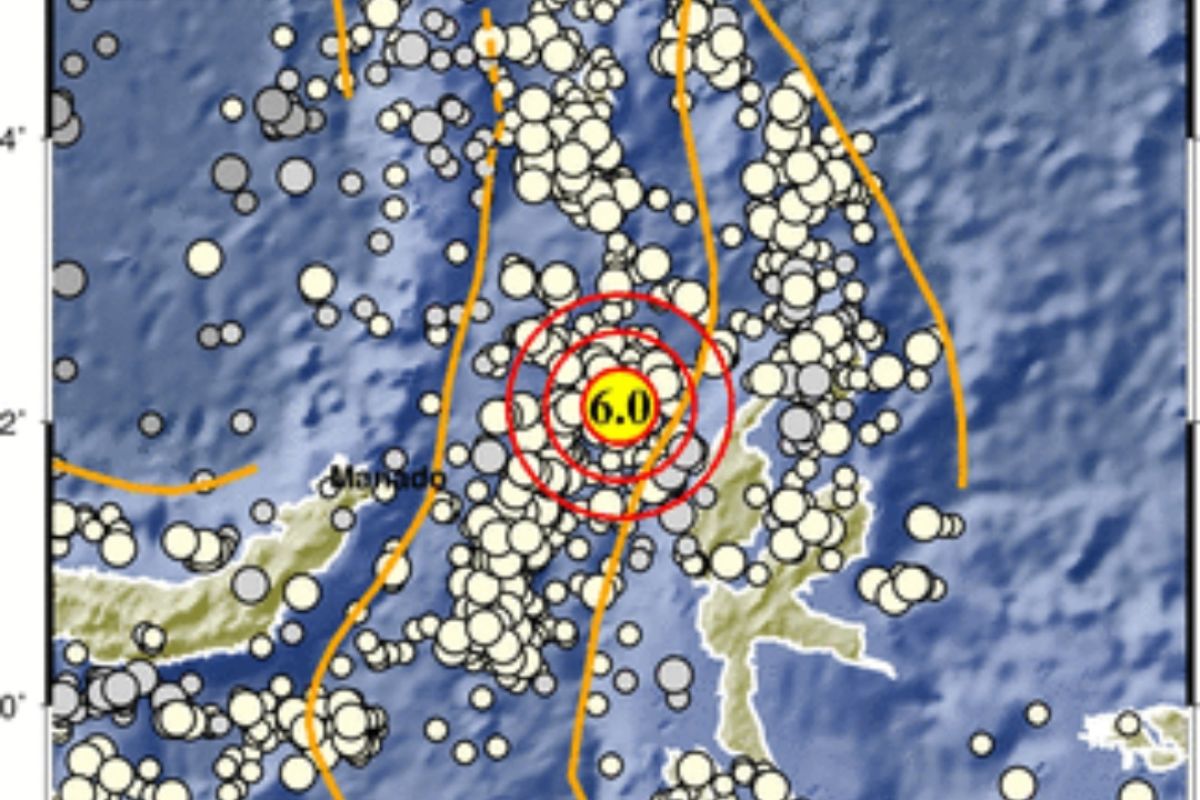
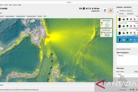
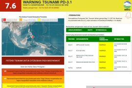
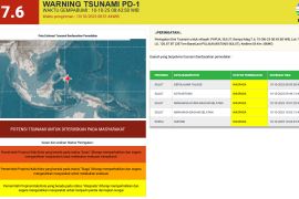
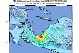
The epicenter of the quake, which hit at 8:44 WIB (Western Indonesia Time), was located at sea, 108 kilometers northwest of West Halmahera, at a depth of 10 kilometers, Chief of the BMKG Earthquake and Tsunami Center Bambang Setiyo Prayitno noted in a statement received in Jakarta.
However, data analysis conducted by the agency showed that the quake had an updated parameter of magnitude 5.9, with the epicenter located at sea, 77 kilometers northwest of Loloda, West Halmahera, at a depth of 10 kilometers.
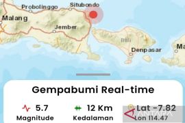
Related news: Magnitude-5.1 quake jolts Banten
Judging by its epicenter and depth, it was a shallow quake caused by plate subduction activity. The result of source mechanism analysis suggested that the quake had a thrust-oblique fault mechanism.
The tremor was felt at Modified Mercalli Intensity (MMI) scale III-IV in Galela, at MMI III in Tobelo, at MMI II-III in Bitung, and at MMI II in Siau and Morotai.
A quake of MMI III can be felt indoors akin to the movement of a truck and a quake of MMI IV can be felt by several people within and outside houses, with the windows or doors creaking and audible wall sounds, while a quake of MMI II can be felt by some people and results in hung, light articles shaking.
Related news: 5.3-magnitude quake hits Lampung's Tanggamus
The Mercalli scale is one of the scales used to assess the intensity of an earthquake, especially in the absence of a seismometer at the site.
By 9:05 WIB, the result of BMKG's monitoring showed no aftershock.
The BMKG has advised locals to stay calm and to not be easily influenced by rumors. They were also advised to avoid buildings destroyed by the quake.
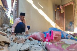
No injuries or fatalities were reported in Tuesday’s quake.
Related news: Inalum, EGA sign MOU on production expansion strategy cooperation
Related news: Government officially increases VAT rate to 11 percent
Translator: Desi Purnamawati, Suharto
Editor: Fardah Assegaf
Copyright © ANTARA 2022
