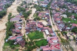
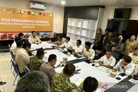
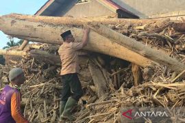
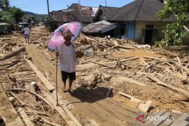
Utilization of technology will help us understand the natural phenomenon and its threatsJakarta (ANTARA) - Technology will be essential to bolster disaster mitigation efforts and disaster early-warning systems, according to an official of the National Research and Innovation Agency (BRIN).
"Utilization of technology will help us understand the natural phenomenon and its threats," BRIN's Earth Sciences and Maritime Research Organization Head, Ocky Karna Radjasa, told ANTARA here on Tuesday.
Radjasa remarked that technology can be utilized to detect tectonic plates' movement and sea-level changes before and after a quake, which could help detect possible earthquake and tsunami occurrences.
Modern technology can also be used to monitor soil saturation levels in hilly regions to detect the potential of landslides, he remarked.
The agency head noted that apart from improving public knowledge on disaster mitigation, the implementation of technology is also essential to enhance disaster mitigation efforts and reduce the risks of casualties.
"Disaster may occur anytime when residents continue their activities indoors, at the hillside, or on the shore," Radjasa noted.
Some disaster mitigation technologies in the earthquake and tsunami monitoring process are seismometer, tsunami buoy, fibre optic-based tsunamimeter, and sea-level detector devices, he stated.
Technologies used to monitor earthquakes, tsunamis, and other natural disasters could enhance the decision-making process to provide early warning to residents, the agency head stated.
Radjasa then affirmed BRIN's commitment to continue to develop technologies to catch up with recent technological developments and enhance the disaster early-warning system to reduce disaster risks.
Earlier, the agency head revealed that the PUMMA (Inexpensive Device for Sea Level measurement or IDSL) tsunami early-detection system installed around Mount Anak Krakatau is operating well.
"The technology predicts disasters based on sea level anomalies due to seismic activity at the ocean bottom or underwater landslides using sea level sensors," Radjasa told ANTARA on Friday (May 13).
He noted that the data recorded by the system was being sent to the data centre of the Meteorology, Climatology, and Geophysics Agency (BMKG) in real-time through the Global System for Mobile Communications (GSM) network.
The IDSL is also equipped with CCTVs for monitoring tsunami waves directly, he added.
Related news: Strengthening disaster mitigation through Disaster SNI implementation
Related news: BRIN devises varied disaster mitigation technologies
Related news: BRIN head reviews readiness of aeronautics, space facilities
Translator: Martha HS, Nabil Ihsan
Editor: Sri Haryati
Copyright © ANTARA 2022
