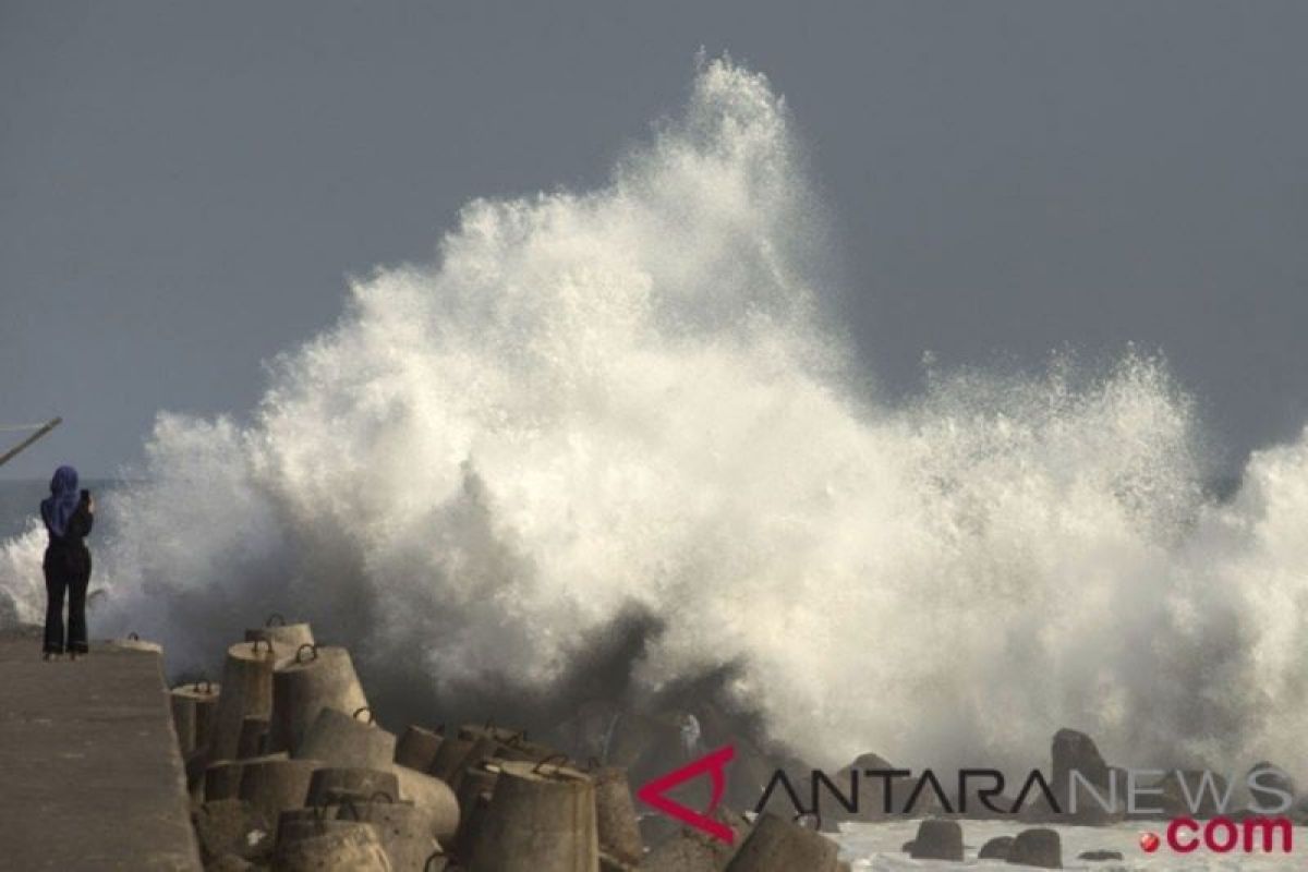
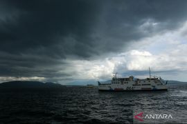
The potential for high waves in some of these areas could pose a risk to shipping safetyJakarta (ANTARA) - The Meteorology, Climatology, and Geophysics Agency (BMKG) urged residents in coastal areas to be wary of waves of one to six meters in height that may occur in the Indonesian waters on December 14-15, 2022.
Head of the BMKG Maritime Meteorology Center Eko Prasetyo explained here on Wednesday that the appearance of the high waves was triggered by wind patterns.
Prasetyo noted that the wind mostly moved from northeast to east, with speeds of eight to 30 knots in northern Indonesia, and predominantly moved from southeast to southwest, with speeds of four to 25 knots in southern Indonesia.
Related news: BMKG prohibits public to rebuild settlements along Cugenang Fault
He said the highest wind speed was observed in the Malacca Strait, waters north of Sabang, waters west of Aceh, and the North Natuna Sea.
He remarked that such a wind pattern increases the likelihood of high waves appearing in several Indonesian waters.
Waves, as high as 1.25 to 2.5 meters, are likely to appear in the Malacca Strait, western waters of Aceh, eastern waters of Simueulue Island-Nias Islands, Bengkulu-Enggano Island waters, western waters of Lampung, southern part of Lampung Bay, and west-south of the Sunda Strait.
Other areas with the potential for waves with similar heights are the southern waters of Java Island-Sumba Island, Bali Strait, Lombok, southern Alas, southern Sape Strait, western Sumba Strait, southern waters of Sawu Island, southern part of Sawu Sea, and South Indian Ocean Banten-East Nusa Tenggara.
Meanwhile, the waters of Sangihe Islands-Talaud Islands, the waters of Bitung-Sitaro Islands, the northern part of Maluku Sea, the northern and eastern waters of Halmahera Islands, Halmahera Sea, the northern waters of West Papua-Papua, the waters of Biak Island, and the northern Pacific Ocean of Halmahera-Papua can also likely face waves of similar height.
Related news: BMKG invites global community to build tropical cyclone warning system
In the meantime, waves, as high as 2.5 to four meters, are likely to occur in the northern waters of Sabang, the western waters of Simeulue Island-Mentawai Islands, the western Indian Ocean of Nias-Lampung Islands, and the waters of the Anambas Islands-Natuna Islands.
Meanwhile, the North Natuna Sea can likely face waves as high as four to six meters.
"The potential for high waves in some of these areas could pose a risk to shipping safety," Prasetyo stated.
He advised fishing boat users to be aware of winds, with speeds of over 15 knots, and waves, with a height of more than 1.25 meters, while barge operators also need to beware of winds, with speeds of more than 16 knots, and waves as high as more than 1.5 meters.
Moreover, ferry operators are urged to beware of winds, with speeds of more than 21 knots and wave heights above 2.5 meters.
Meanwhile, large ships, such as cargo and cruise ships, are also urged to watch out for winds, with speeds of over 27 knots, and waves as high as more than four meters.
Related news: Bali quake caused by Flores back-arc thrust activity: BMKG
Related news: New fault caused 5.6-M Cianjur quake: BMKG
Translator: Zubi Mahrofi, Katriana
Editor: Fardah Assegaf
Copyright © ANTARA 2022
