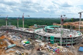
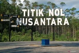
"The government has issued the Presidential Regulation No. 64 of 2022 concerning the spatial planning of Nusantara's national strategic area for 2022-2042 related to the integrated land and sea spatial planning," said Victor Gustaaf Manoppo, the ministry's Director General of Marine Spatial Management.
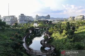
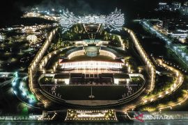
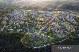
He noted that the regulation is part of the strategies to realize the vision of Nusantara as a global city that is built and managed sustainably.
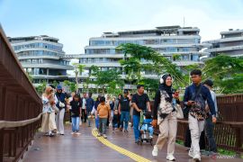
The government issued the regulation to support the new capital to become the national economic driver and a fresh symbol of national identity and diversity, Manoppo stated.
He elaborated that the regulation aims for sustainable economic growth and serves as a master plan for Nusantara's development and coordinates and synchronizes the implementation of development programs.
The potential of fisheries and marine resources in Nusantara covers the land area of 252,660 hectares and a marine area of 69,769 hectares in the Kutai Kartanegara District's waters.
With a total area of 322,429 hectares, the potential area is divided into Nusantara's core area and development zones.
The ministry's Acting Director of Marine Spatial Planning, Suharyanto, explained that the regulation, as one of the documents for planning the Nusantara area, applies the principle of comprehensive, holistic, and integrated development.
The regulation also covers the development of an integrated fishing port and the cultivation center of capture fisheries in Muara Jawa Sub-district, a waterfront city based on marine tourism and ecotourism, and sustainable blue-green city in the Kutai Kartanegara coastal area.
Related news: New capital Nusantara can become zero-carbon city by 2045: OIKN
Related news: Jokowi, Norwegian PM discuss Gaza peace, Nusantara in Dubai
Translator: Sinta A, Kenzu
Editor: Anton Santoso
Copyright © ANTARA 2023

