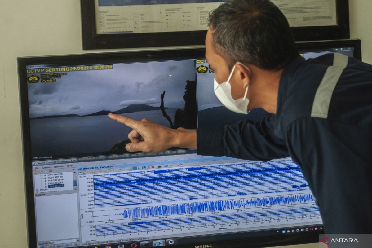
ESDM Minister Arifin Tasrif stated that the modernization would complement the personnel's competency at the ministry's Geology Agency.
"We are working to optimize all existing scanning systems to be modernized. We will upgrade the capabilities of the personnel and increase coordination with the local government to anticipate and cooperate if urgent matters need to be implemented immediately," he noted in a statement issued by his office on Tuesday.
According to Tasrif, geological disasters, such as volcanoes, earthquakes, and landslides, require mitigation to minimize casualties by using modern and well-functioning equipment.
"We must carry out more massive programs to monitor and anticipate geological disasters, including by equipment modernization," he emphasized.
Meanwhile, the Geological Agency noted that apart from the modernization of 12 volcano monitoring systems, which brought the total to 1,063 units, it also built six volcano observation posts, bringing the total to 19 units.
Related news: Mt Lewotobi eruption: Govt provides shelters for affected residents
Related news: PGAMBGT maps out villages prone to Mount Lewotobi eruption
In 2023, the agency recorded 251 tectonic earthquakes with a magnitude Mw > 5, some 30 damaging earthquakes, and no tsunami. The death toll was recorded at seven, while 24 people were injured.
Moreover, 810 incidents of ground movement with 140 people having died, 65 people injured, and 920 houses damaged were also recorded.
There were also several volcanic eruptions, namely Semeru, Marapi, Anak Krakatau, Dempo, Dukono, Ibu, Ili Lewotolok, and Lewotobi Laki-Laki.
Throughout 2023, the Geological Agency also conducted four additional mappings of Volcano Geology, a total of 116 maps; two additional mappings of Volcano Disaster-Prone Areas, a total of 111 maps; and four additional mappings of Earthquake Disaster-Prone Areas, a total of 51 maps.
The agency then carried out five additional mappings of Tsunami-Prone Areas, with a total of 58 maps, and six additional mappings of Land Movement Vulnerability Zones, with a total of 12 maps.
Related news: Mount Marapi erupts again, releasing roaring sounds
Translator: Kelik Dewanto, Resinta Sulistiyandari
Editor: Yuni Arisandy Sinaga
Copyright © ANTARA 2024


