A weather forecaster at the local BMKG office in Medan, Martha Manurung, said that her side carried out satellite monitoring of the hotspots in North Sumatra.
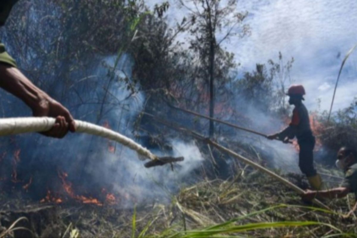
Of the 53 hotspots identified, about 25 are located in Labuhanbatu, while others are spread across regions such as Serdang Bedagai, South Tapanuli, Toba, Asahan, Samosir, and Karo.
Though the number of hotspots has declined, Manurung asked the community to not clear land by burning since some parts of North Sumatra have entered the dry season.
"Today's temperature reached 37.6 degrees Celsius," she noted.
Meanwhile, on average, the weather was cloudy on Thursday morning with rain of light intensity forecast in the evening in some parts of the province, such as Batubara, Deli Serdang, Karo, Pematangsiantar, Tebing Tinggi, Serdang Bedagai, and Simalungun and surrounding areas.
The average air temperature was between 15 and 37 degrees Celsius, with the wind blowing southeast to southwest at a speed of 5 to 12 kilometers per hour.
"Be aware of potential hot and humid air temperatures in lowland, urban, and coastal areas of North Sumatra," Manurung said.
Meanwhile, a forecaster with the Belawan Maritime Meteorological Station, Dasmian Sulviani, informed that the waves in the waters off northern Sumatra Island could reach heights of 1.25 meters to 2.5 meters, or medium, and 0.5 to 1.25 meters, or low.
Earlier, the North Sumatra provincial government said that it is ready to anticipate the dry season, especially in agricultural lands, by bolstering the pumping program.
Related news: More regions targeted for forest fire control this year: BNPB
Related news: Minister asks regions to remain alert against forest, land fires
Related news: Some 38 hotspots detected in East Kalimantan: BMKG
Translator: Juraidi, Kenzu
Editor: Azis Kurmala
Copyright © ANTARA 2024
