During the 2025 National Coordination Meeting on Geospatial Information in Jakarta on Wednesday, he said that the main focus of infrastructure development is lending direct support to efforts to boost economic growth, create jobs, and improve community welfare.
The Coordinating Ministry for Infrastructure and Regional Development is currently preparing regional spatial plans at the national, provincial, district, and city levels.
The main goal of this exercise is to provide comprehensive and accurate geospatial information, such as a 1:5000 large-scale information map, which can serve as a reference for development across all sectors.
Yudhoyono said that without a large-scale map, it would be difficult to establish spatial planning, especially for producing detailed spatial plans. The map would also prove essential for decision-makers, regional leaders, business players, and investors.
“Credible geospatial information is extremely beneficial for development planners,” he explained.
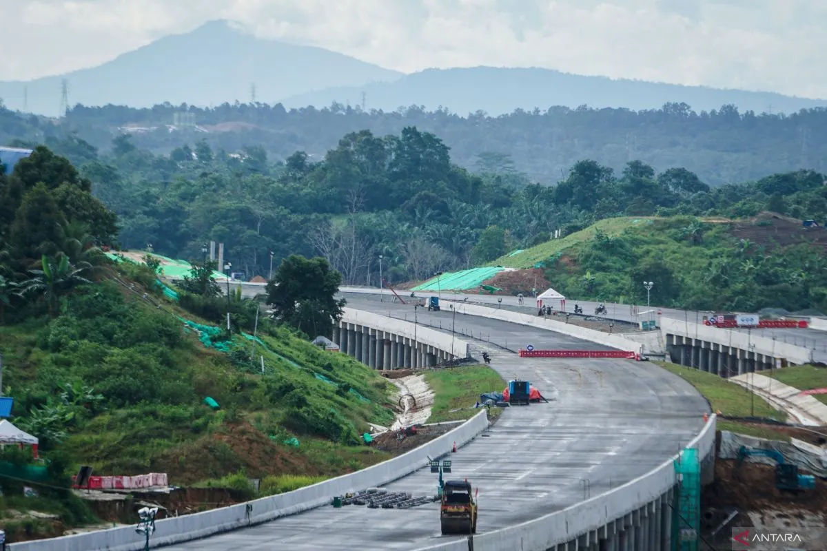
Comprehensive data is useful for constructing and connecting roads to fulfill basic infrastructure in various regions, besides developing new centers of economic growth to eliminate disparities between regions.
The minister expressed the hope that relevant stakeholders will track the World Bank’s Integrated Land Administration and Special Planning program, which will help accelerate the One Map Policy and One Spatial Planning Policy.
“Without good coordination and cooperation, this will be difficult for us to achieve,” he added.
Related news: Zero ODOL vehicle policy should begin before 2027, minister says
Related news: Indonesia urges global maritime collaboration through IMW 2025
Translator: M Baqir, Raka Adji
Editor: Aditya Eko Sigit Wicaksono
Copyright © ANTARA 2025


