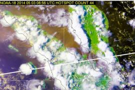
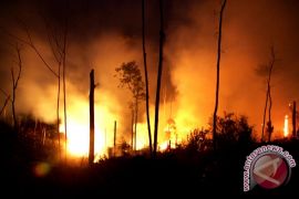
The seven hotspots were located in three sub districts, Sukeran Effendi, the Hulu Sungai Tengah forestry and plantation office`s forest protection section, said here Wednesday.
"Two hotspots are found in Barabai, four in Pandawan and one hotspot in Labuan Amas Utara," he said.
The seven hotspots were not located in forest area, but in peat land and dried farming area, he said.
"Based on the NOAA satellite monitoring, forest area in Hulu Sungai Tengah is safe from the possibility of fire breakout," he said.
His office regularly receives data obtained from the NOAA`s satellite on hotspots.
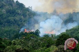
The local forestry and plantation office is on alert of possible forest fire during this current dry season.
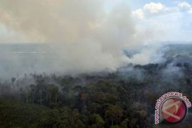
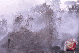
On Kalimantan Island, haze from forest and plantation fires has forced the authorities of Haji Asan airport in Sampit, East Kotawaringin District, Central Kalimantan province, to delay flights, over the past one week.
"Due to the haze, plane arrivals and departures are often late," Head of Haji Asan Airport Maruli Tua Edison Saragih said in Sampit on July 7.
He hoped that the haze would not get thicker in the future because it could endanger the flights.
The East Kotawaringin district administration has set up a command post to deal with the forest and plantation fires.
The command post involves various officers in the district, such as the environmental affairs office, the forestry office, the local fire brigade, the plantation and agriculture office, and police, according to Sanggol Lumban Gaol, an official of the East Kotawaringin district administration.
Similar command posts will later be set up at all sub districts and villages in East Kotawaringin District.
(Uu.F001/HAJM/H-YH)
Editor: Priyambodo RH
Copyright © ANTARA 2011
