#satellite imaging
Collection of satellite imaging news, found 13 news.
Indonesia's Geospatial Information Agency (BIG) confirmed the identification of 63 new islands throughout the ...
The National Research and Innovation Agency (BRIN), the Innovation Academy for Microsatellites of Chinese Academy of ...
At least six thousand hectares of farms in Bekasi, West Java, based on satellite imaging, have been inundated due to ...
Indonesia's Environment and Forestry Ministry and World Resources Institute (WRI) forged collaboration to pursue ...
The National Research and Innovation Agency (BRIN) managed image data obtained from remote sensing satellite for ...
The Surya Satellite-1 (SS-1), developed by Surya University under the support and supervision of experts from the ...
The National Research and Innovation Agency (BRIN) is striving to strengthen and attain self-reliance in obtaining ...
thermal cycler, real-time PCR machine, Varioskan multimode microplate reader, scanning electron microscope, ...
Improving research infrastructure and its open platform for everyone was conducted to increase Indonesia's ...
The centralization of the remote sensing and satellite imaging database has helped the state save Rp15 trillion ...
Indonesia’s rice production is projected to increase by 1 percent, or 314.10 thousand tons, to reach 31.63 ...
Threatened by a significant number of natural disasters every year, Indonesia should immediately have a special ...
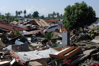
Agencies will use high resolution satellite imaging to find earthquake worst-affected points that have not been ...


