#semeru
Collection of semeru news, found 38 news.
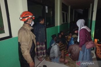
The National Disaster Mitigation Agency (BNPB) reported that as of Wednesday night, 300 residents in Lumajang District, ...
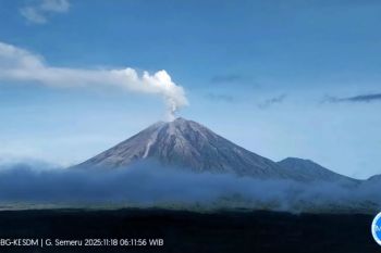
The Geological Agency of the Indonesian Ministry of Energy and Mineral Resources has raised the activity status of ...
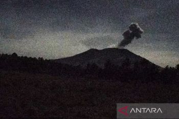
Mount Semeru, located on the border of Lumajang District and Malang District in East Java, erupted again on Tuesday ...
Mount Semeru in East Java erupted again on Thursday morning, sending an ash column about 1 kilometer above its peak, ...
The National Disaster Mitigation Agency (BNPB) informed that the central government is still covering the basic needs ...
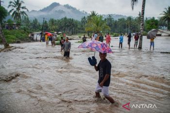
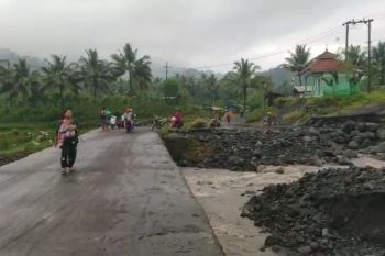
The tremor from a lava flood from Mount Semeru in Lumajang District, East Java, was recorded for over 2.5 hours on ...
The Ogoh-ogoh parade, featuring thousands of Hindu devotees in Lumajang, East Java, was seen as a demonstration of ...
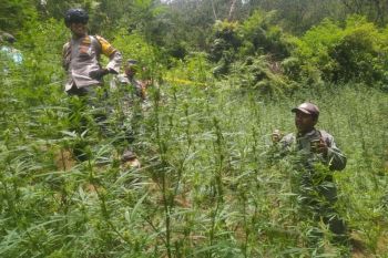
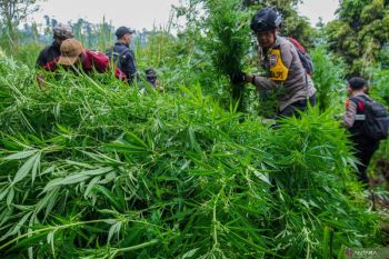
Indonesia's Forestry Ministry has denied that the discovery of marijuana fields at the Bromo Tengger Semeru ...
Indonesia's Minister of Forestry Raja Juli Antoni confirmed on Tuesday that a marijuana field was discovered within ...
The government has added more flights and increased the availability of aircraft seats ahead of the Christmas and New ...
The West Java police continues to investigate the main cause of a wildfire that ravaged bushes and trees of the Tegal ...
The Volcanology and Geological Disaster Mitigation Agency (PVMBG) noted that four volcanoes in Indonesia were at Level ...
Brawijaya University has developed an Internet of Things (IoT) technology based on the Geographic Information System ...
The Tourism and Creative Economy Ministry has designated Biak Numfor District, Papua, as one of the 19 priority ...
Tourism and Creative Economy Minister Wishnutama Kusubandio highlighted the criticality of implementing strict health ...
