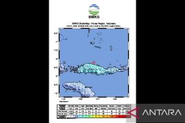
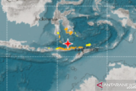
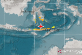
"The epicentre was situated at 7.17 degrees south latitude and 123.27 degrees east longitude. As its magnitude was mild, the tremor would not trigger a tsunami," the agency said in a statement.
The quake occurred 636 kilometres under the sea, about 131 km off the district`s northeast coast. Neither the agency nor the East Flores Disaster Mitigation Office (BPBD) received any reports of damage or fatalities yet.
Two quakes also rocked the country`s northernmost Talaud Islands in North Sulawesi over the weekend. The first was at 11:28pm local time on June 2 and the second at 1:26 am local time on June 3.
"The first 5.8-magnitude earthquake was situated 17 km under the sea about 58 km to the northeast of the islands, while the latter was located 22 km under the sea, about 46 km to the northwest," the agency stated.
The epicentre of the first quake was at 4.56 degrees south latitude and 126.83 degrees east longitude,. The second quake`s epicentre was at 4.46 degrees south latitude and 126.67 degrees east longitude. There were no aftershocks or big waves. Neither was any damage reported.
The country`s eastern region, which covers East Nusa Tenggara, West Nusa Tenggara, North Maluku, Maluku, West Papua, and Papua, is earthquake-prone because it is situated a tectonic faultline. Quakes occur because of subduction activity -- a geological term for what happens when one tectonic plate shifts under another.
(T. KR-GNT/INE/B003)
(T.KR-GNT/A/KR-BSR/B003)
Reporter: antara
Editor: Heru Purwanto
Copyright © ANTARA 2018


