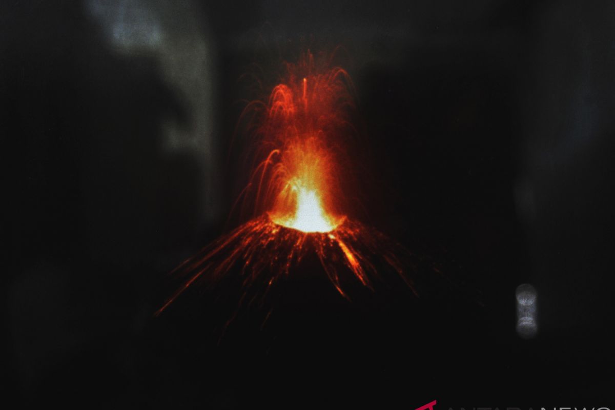
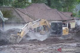
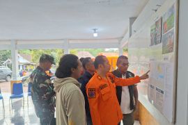
"I am still scared. I cannot sleep soundly, because I am afraid that another tsunami might strike," Yeni, who was displaced following the volcanic tsunami on Dec 22, 2018, said.Jakarta (ANTARA News)- Rini Hartati and Yeni, inhabitants of South Lampung, used to enjoy the beauty of Mount Anak Krakatau, especially its red magma, which looked like firecrackers in the evening, from their homes located in the coastal area facing Sunda Strait, where the `child` of the legendary Mount Krakatoa stands.
Anak Krakatau has been undergoing a stuttering eruption since June 18, 2018, and an alert level 2 had been declared for it.
As its volcanic activities increased, the volcano often showed spectacular views, particularly at night. Villagers living along beaches in Sunda Strait located between Sumatra and Java Island said they were very amazed of the view and they enjoyed watching it as it had never happened before.
But the volcanic activities of Anak Krakatau did not get special attention from the authorities until Dec 22, 2018, when a volcanic tsunami hit the provinces of Lampung (Sumatra) and Banten (Java) without early warning.
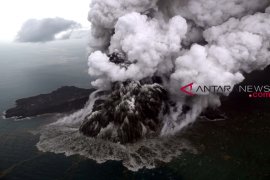
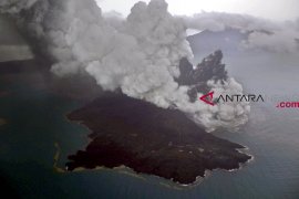
Mount Anak Krakatau?s southern flank, measuring 64 hectares, slid into the ocean that evening, according to images from the European Space Agency`s Sentinel-1 satellite, reported by www.nationalgeographic.com.
Some 20 minutes after the flank collapsed, a wall of water roared ashore, sweeping up everything in its path, including boats, tables, and people along the coastal regions of Sunda Strait.
Mount Anak Krakatau`s height has decreased from 338 meters above sea level (mdpl) to 110 mdpl following the flank collapse. Full recovery will take longer. It may take 50 years before Anak Krakatau can reach its pre-collapse height.
The tsunami affected five districts, namely Pandeglang and Serang in Banten Province; and South Lampung, Tanggamus, and Pesawaran in Lampung Province.
The death toll reached 437 people, and 23 others remained missing due to the tsunami. As many as 14,059 people were injured, and 33,721 others were displaced.
Rini and Yeni were among people displaced and traumatized by the tsunami. Until now, they stay in temporary shelters and are scared of going back to their villages as Mount Anak Krakatau is still active.
"I am still scared. I cannot sleep soundly, because I am afraid that another tsunami might strike," Yeni noted.
President Joko Widodo (Jokowi) recently visited the victims of the tsunami in South Lampung and pledged to build new houses for the victims whose homes were destroyed by the natural disaster.
The new houses will be built at an area of at least some 400 meters from the coast and closer to Mount Rajabasa.
Meanwhile, the authorities have increased its alert level to 3 and announced a danger zone within a radius of five kilometers from the mountain`s crater, wherein no one is allowed to approach or enter.
On Jan 7, the volcano seismically erupted 28 times in the course of 12 hours, with amplitude of 16-30 mm and duration of 45 to 121 seconds, Windi Cahya Untung, officer of the Mount Anak Krakatau observation post of the Center of Volcanology and Geology Disaster Mitigation (PVMBG), explained on Jan 8.
The volcano is most likely to trigger more landslides as seismograph censors have continuously recorded volcanic activities of Mount Anak Krakatau.
Rahmat Triyono, head of the earthquake and tsunami center of the Meteorology, Climatology, and Geophysics Agency (BMKG), revealed that the agency has installed six seismograph censors around the volcano.
Coordinating Minister for Maritime Affairs Luhut Binsar Panjahitan recently noted that the government would install early warning systems (EWS) in three small islands not far from Anak Krakatau.
The early warning systems would minimize the effects of tsunami, he added.
Besides, BMKG has also installed water level censors in 16 piers to anticipate the impact of Mount Anak Krakatau eruption on sea waves.
The censors are among others installed on Sebesi Island in the Sunda Strait and the seaports of Merak in Banten and Bakauheni in Lampung.
The devices are connected to a server of the Rekayasa Automatic Weather Station (AWS) of BMKG and provide real-time data and information.
Anak Krakatau is the offspring of the infamous Krakatoa volcano that affected global climate with a massive eruption in 1883, one of the largest catastrophic volcanic eruptions in modern history.
The Krakatoa explosion generated formidable tsunami waves that were up to 37 meters (120 feet) in height. The waves destroyed 295 towns and villages in the Sunda Strait in Western Java and Southern Sumatra. A total of 36,417 people were drowned. The tsunami, being volcanic in origin (a point source), was only destructive locally in Indonesia. However, small tsunami waves were recorded throughout the Pacific.
The "child" of Krakatoa first rose above sea level in 1929 and has been increasing its land mass since then. It grew at an average rate of 13 centimeters (5.1 inches) per week since the 1950s. This equates to an average growth of 6.8 meters (22 feet) per year.
Reporter: Fardah Assegaf
Editor: Fardah Assegaf
Copyright © ANTARA 2019
