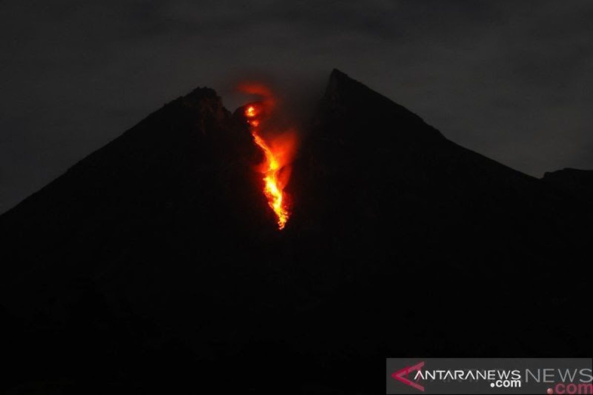
BPPTKG Head Hanik Humaida noted in an official statement that the CCTV monitoring of lava avalanches during the observation period from 00:00 to 00:06 WIB showed that they had a sliding distance of 400-500 meters.
Humaida remarked that during the course of the observation period, the BPPTKG had also recorded 10 earthquakes, measuring amplitudes in the range of three to 23 mm, lasting between 27 and 89 seconds, and two other earthquakes of three- to seven-mm amplitude, at a duration of 9.4-13.5 seconds.
In the meantime, visual observations indicated that white, thin smoke was emitted from the Merapi crater, rising to a height of 20 meters above its peak.
Weak winds blew over the mountain to the northeast direction. Air temperature was recorded at 17-21 degrees Celsius, while air humidity reached 56-90 percent, and air pressure was recorded at 568-708 mmHg.
The BPPTKG has, until now, kept the status of Mount Merapi at Level II, or Alert, as unchanged and, in the interim, advised against climbing activities, apart for conducting disaster mitigation-related investigation and research.
The BPPTKG has appealed to residents to steer clear from conducting activities within a three-kilometer radius of Mount Merapi’s summit.
The BPPTKG has called on those living in proximity to the River Gendol channel to develop greater awareness.
The community was also urged to not become agitated by issues concerning the eruption of Mount Merapi, whose sources were uncertain, and to continue to follow the directives of local government officials or to direct their inquiries and queries to the Mount Merapi Observation Post or the BPPTKG office, or via the social media account of BPPTKG. EDITED BY INE
Translator: Bambang Purwanto
Editor: Fardah Assegaf
Copyright © ANTARA 2019


