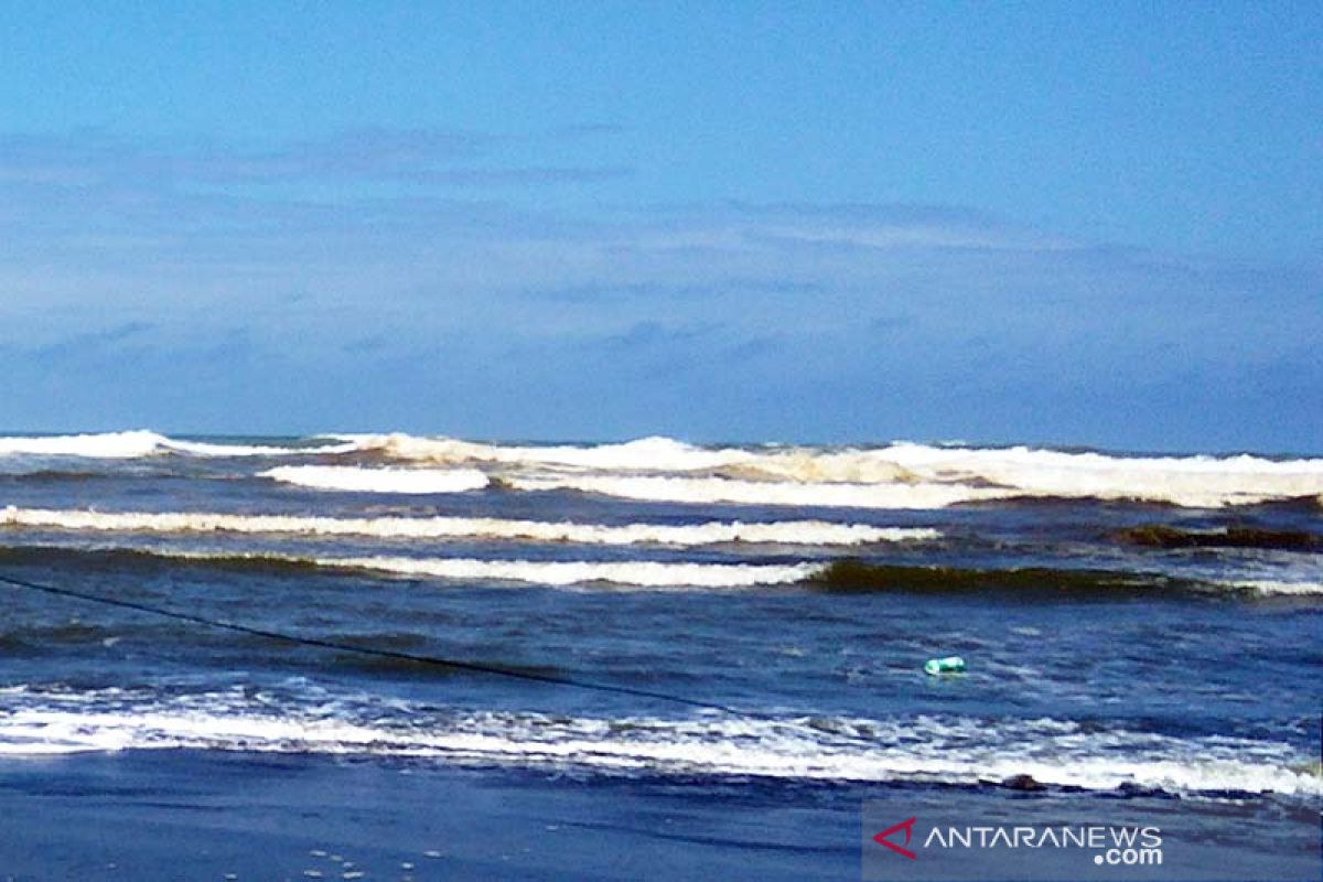
Waves in the southern Indian Ocean of Central Java and Yogyakarta Special Region can potentially reach six meters in height, Head of the Meteorological Station Technician Group BMKG Cilacap Teguh Wardoyo stated.
"The high waves are the result of the wind speed increasing in the south of Java that is forecast to last for the next three days," he noted in Cilacap, Central Java, Thursday.
Wardoyo remarked that on the basis of observations, the wind patterns in the northern equator are generally from the East to South and at speeds of three to 15 knots, while in the southern equatorial region, the winds usually blow from East to Southeast at speeds of three to 25 knots.
Wardoyo pointed out that the highest wind speeds were recorded in the waters south of Java to Sumbawa, the waters south of Sumba Island to Sawu Island, the waters of Rotte Island to Kupang, the Savu Sea, and the Timor Sea south of East Nusa Tenggara.
Moreover, the Indian Ocean south of Java to East Nusa Tenggara, southern Banda Sea, waters of the Letti Islands to Tanimbar, the waters south of the Kei Islands to Aru, and the Arafuru Sea too experienced top wind speeds.
"Hence, we are issuing high-wave early warnings valid until Sunday (June 2), as the height of waves in the southern waters of Central Java-DIY is forecast to reach 2.5-4 meters, while in the southern Indian Ocean of Central Java-DIY, the waves can potentially reach four to six meters," he remarked.
Speaking in connection with the high waves, Wardoyo has urged tourists visiting the coast to exercise caution and to not swim or bathe, particularly in coastal areas directly connected to the high seas to avoid untoward incidents.
Furthermore, Wardoyo noted that all parties conducting activities at sea were encouraged to be heedful of the risk of high winds and waves to shipping safety, specifically traditional fishermen using small boats should remain vigilant against winds reaching speeds of over 15 knots and waves reaching heights of over 1.25 meters.
"If possible, fishermen are urged to not venture into sea, as waves of over 1.25 meters high can be highly risky for small-sized vessels," he stated.
He appealed to barge operators to watch out for winds reaching speeds of over 16 knots and wave heights of above 1.5 meters. Ferries should remain alert to wind speeds crossing 21 knots and wave heights of over 2.5 meters and large-sized vessels, such as cargo ships or cruises, to stay alert against wind speeds of over 27 knots and waves touching heights of over four meters.
"People residing and travelling on the coast, around areas that have the likelihood of high waves and congested shipping areas, should remain vigilant. We will keep monitoring the development of high waves and will promptly notify the public in the event of further developments," he added.
Translator: Eliswan Azly
Editor: Suharto
Copyright © ANTARA 2019


