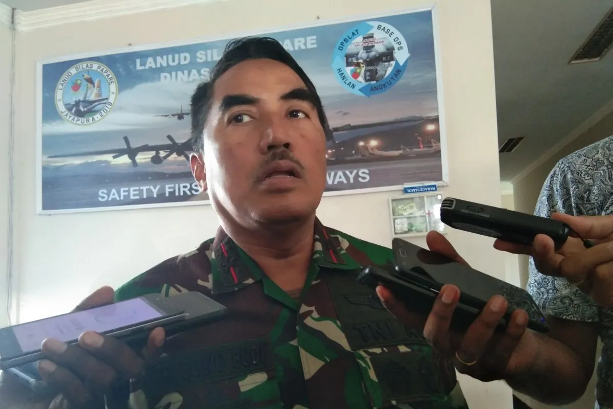
"Signals or hotspots obtained from satellite images, yesterday, were at five points though now it is six points," Santoso remarked in Sentani, Jayapura Regency, on Monday.
At these six points, he said, the distribution was approximately one to two each.
"Hence, there were people, who had gathered at the three points. Then, there were those, who had gathered a little far away, but still on the route covered by the MI 17 helicopter," he stated.
He remarked that the six hotspots are around the Oksibil region, the Bintang Mountainous Areas of Bintang District, Papua.
Santoso had earlier stated that based on satellite imagery, there were five hotspots around the route crossed by the helicopter during the Okibab-Jayapura flight on Friday (June 28).
The MI 17 helicopter, bearing registration number HA-5138, was carrying onboard 12 passengers and crew members, who had earlier flown to Okbibab to deliver logistics to soldiers serving in the area.
The crew members aboard the helicopter were pilots CPN Captain Aris and CPN Lieutenant Bambang, co-pilot First Lieutenant CPN Ahwar, Head Sergeant Suriyatna, Sergeant Dita, Head Private Dwi Purnomo, and Private Aharul.
The passengers, who were members of the Battalion 725/WRG, comprised Second Sergeant Ikrar Setya Nainggolan, Private Yanuarius Loe, Private Risno, Second Private Sujono Kaimuddin, and Second Private Tegar Hadi Sentana.
Related news: Joint SAR team, locals continue land-based search for MI-17 helicopter
EDITED BY INE
Translator: Musa Abubar/Eliswan Azly
Editor: Suharto
Copyright © ANTARA 2019


