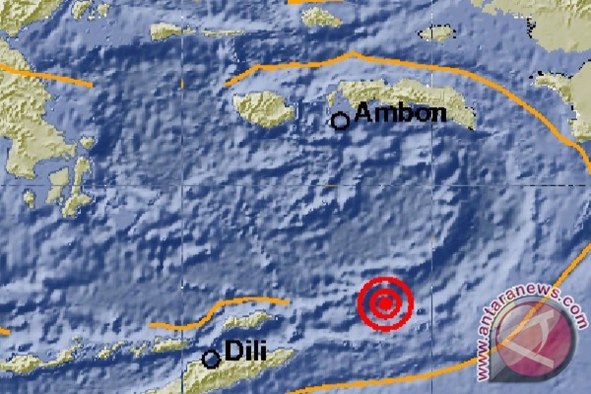
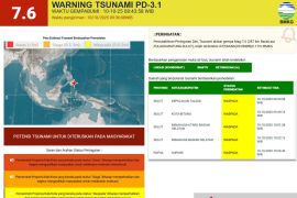
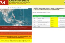
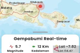
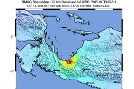
The quake which struck at 10.43 WIB (West Indonesia Standard Time) was centered 234 kilometers west of Saumlaki City at a depth of 197 kilometers, the agency said.
"Gauging from its epicenter and hypocenter depth, the quake was a moderate one caused by the subduction activity in the Banda Sea," Chief of BMKG Earthquake and Tsunami Center Rahmat Triyono said in a press statement released on Sunday.
The quake was felt by people in Saumlaki at Modified Mercalli Intensity (MMI) scale II to III and in Dobo at MMI scale II .
The tremor of MMI III could be felt indoors akin to the movement of a truck, while a quake of MMI II was felt by some people and resulted in the hung light articles shaking.
No injuries or casualties were reported.
Indonesia is located on the geographically active “Pacific Ring of Fire” and holds some 40 percent of the world's geothermal reserves.
The Ring of Fire, or the Circum-Pacific belt, is the world’s greatest earthquake belt, according to Live Science, owing to fault lines running from Chile to Japan and Southeast Asia.
Related news: W Sulawesi: 10 homes damaged in 5.4-magnitude quake
Related news: Quake damages 65 homes in West Java's Ciamis district
Translator: Dewanto S/Suharto
Editor: Gusti Nur Cahya Aryani
Copyright © ANTARA 2020
